Clara River
| Clara | |
| River | |
| Country | Australia |
|---|---|
| State | Queensland |
| Region | North West Queensland, Gulf Country |
| Part of | Norman River catchment |
| Tributaries | |
| - right | Borer River |
| Source | Gregory Range |
| - location | near Bellfield |
| - elevation | 430 m (1,411 ft) |
| - coordinates | 19°14′40″S 143°24′04″E / 19.24444°S 143.40111°E |
| Mouth | confluence with the Norman River |
| - location | south of Normanton |
| - elevation | 25 m (82 ft) |
| - coordinates | 18°27′24″S 141°18′25″E / 18.45667°S 141.30694°ECoordinates: 18°27′24″S 141°18′25″E / 18.45667°S 141.30694°E |
| Length | 385 km (239 mi) |
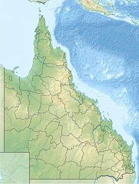 Location of Clara River mouth in Queensland
| |
| [1] | |
The Clara River is a river located in the Gulf Country of northwest Queensland, Australia.
The river rises in the Gregory Range near Bellfield and flows in a westerly direction, traversing tropical savanna plains and eventually discharging into the Norman River, south of Normanton.[2] From source to mouth, the Clara River is joined by the Borer River, Snowy Creek and Yarraman Creek, and descends 404 metres (1,325 ft) over its 385-kilometre (239 mi) course.[1]
The headwaters in the Gregory Range are made up of ephemeral water courses and stony ridges composed of sandstone and conglomerate.[3] The vegetation in the area is open forest which changes to savannah and grasslands of the open floodplains. The river and stream banks support riparian vegetation dominated by Red River Gum and Coolabah trees.[3]
See also
References
- 1 2 "Map of Clara River, QLD". Bonzle Digital Atlas of Australia. Retrieved 11 December 2015.
- ↑ "Flooding in Queensland, Australia". Earthshot. 17 February 2009. Retrieved 16 October 2014.
- 1 2 "19°S 143°E Gregory Range – Queensland by Degrees". Royal Geographic Society of Queensland. 2011. Retrieved 16 October 2014.
Rivers of Queensland | |||||||||||||||||||||||||
|---|---|---|---|---|---|---|---|---|---|---|---|---|---|---|---|---|---|---|---|---|---|---|---|---|---|
| |||||||||||||||||||||||||
| |||||||||||||||||||||||||
| |||||||||||||||||||||||||
| |||||||||||||||||||||||||
| |||||||||||||||||||||||||
| |||||||||||||||||||||||||