Chute Forest
| Chute Forest | |
.jpg) Lodge Lane, Chute Forest |
|
 Chute Forest |
|
| Population | 180 (in 2011)[1] |
|---|---|
| OS grid reference | SU309517 |
| Civil parish | Chute Forest |
| Unitary authority | Wiltshire |
| Ceremonial county | Wiltshire |
| Region | South West |
| Country | England |
| Sovereign state | United Kingdom |
| Post town | Andover |
| Postcode district | SP11 |
| Dialling code | 01264 |
| Police | Wiltshire |
| Fire | Dorset and Wiltshire |
| Ambulance | South Western |
| EU Parliament | South West England |
| UK Parliament | Devizes |
| Website | The Chutes |
Coordinates: 51°15′50″N 1°33′29″W / 51.264°N 1.558°W
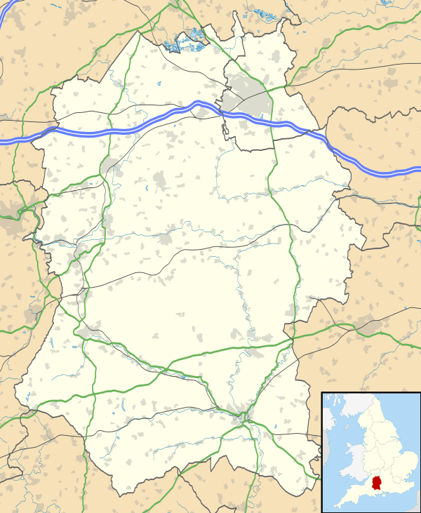
Chute Forest is a village and civil parish in west Wiltshire, England. The parish is bordered to the west and south by the county of Hampshire. The village is about 5 miles (8 km) northwest of Andover and 3 miles (5 km) to the east of Ludgershall.
History
The area was a large royal forest by the 13th century[2] and continued in Crown ownership until 1639. It was then an extra-parochial area until it became a civil parish in the 19th century, and an ecclesiastical parish in 1875 after the church was built.[3]
The Chute Hoard
A hoard of Iron Age coins found in the northeast in 1927 (with further coins found in 1986 and 1994) is the only evidence of prehistoric activity in the parish. The coins are from the 1st century BC. The British Museum holds 36 coins[4] while the Wiltshire Museum at Devizes has others, together with the hollow flint nodule in which they were found.[5]
Chute Lodge
Chute Lodge, in the centre of the parish, is a country house built in red brick in 1768 by Sir Robert Taylor, on or near the site of an earlier house. In 1988 the house was designated as Grade I listed.[6]
Parish church
St Mary's Church, 600 metres north of Chute Lodge, was built between 1870 and 1871 to designs by J.L. Pearson and consecrated in 1875.[3] It has been designated as a Grade II* listed building[7] and is now in the care of the Churches Conservation Trust.[8]
Local government
Chute Forest is a civil parish with an elected parish council. It is in the area of Wiltshire Council unitary authority, which is responsible for almost all significant local government functions.
References
- ↑ "Chute Forest Census Information". Wiltshire Community History. Wiltshire Council. Retrieved 2 November 2014.
- ↑ Crittall, Elizabeth (ed.). "Victoria County History - Wiltshire - Vol 4 pp391-433 - Royal forests". British History Online. University of London. Retrieved 16 April 2016.
- 1 2 Crowley, D.A. (ed.). "Victoria County History - Wiltshire - Vol 16 - Kinwardstone Hundred - Chute Forest". British History Online. University of London. Retrieved 15 April 2016.
- ↑ "Search result: Chute Forest". Retrieved 15 April 2016.
- ↑ Cunnington, B. Howard (December 1929). "A Hoard of British Coins found at Chute". Wiltshire Archaeological & Natural History Magazine. 44: 236–239. Retrieved 15 April 2016.
- ↑ Historic England. "Chute Lodge (1364573)". National Heritage List for England. Retrieved 15 April 2016.
- ↑ "Church of St Mary". Images of England. English Heritage. Retrieved 4 October 2010.
- ↑ "St Mary, Chute Forest". Churches Conservation Trust. Retrieved 4 October 2010.
External links
- "Chute Forest". Wiltshire Community History. Wiltshire Council. Retrieved 15 April 2016.
![]() Media related to Chute Forest at Wikimedia Commons
Media related to Chute Forest at Wikimedia Commons