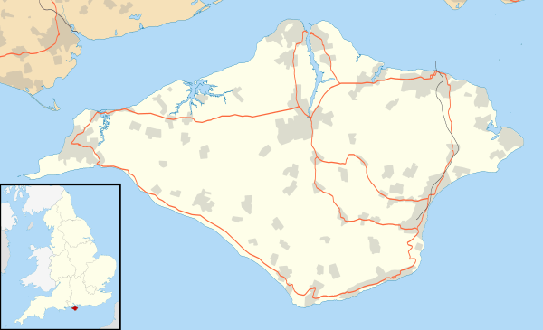
Chillerton
| Chillerton | |
 |
|
 Chillerton |
|
| Population | 422 (2011)[1] |
|---|---|
| OS grid reference | SZ488392 |
| Civil parish | Chillerton and Gatcombe |
| Unitary authority | Isle of Wight |
| Ceremonial county | Isle of Wight |
| Region | South East |
| Country | England |
| Sovereign state | United Kingdom |
| Post town | NEWPORT |
| Postcode district | PO30 |
| Dialling code | 01983 |
| Police | Hampshire |
| Fire | Isle of Wight |
| Ambulance | Isle of Wight |
| EU Parliament | South East England |
| UK Parliament | Isle of Wight |
|
|
Coordinates: 50°39′24″N 1°18′22″W / 50.656584°N 1.306129°W
Chillerton is a village between Newport and Chale in the Isle of Wight in southern England. Chillerton is in the middle of a farming community.[2]
The nearby Chillerton Down is the site of an unfinished Iron Age promontory fort and a 229-metre (751 ft) antenna for the Isle of Wight radio station broadcasting on 107.00 MHz, as well as several other stations.[3] It is the village's most prominent feature and can be seen from most parts of the island. It is known as the Chillerton Down transmitting station.[3] Chillerton Down is flown by Paragliders in a E to SE wind and on days with good thermals the top of the mast can be reached.
In 1907, a contract was signed that ensured that properties older than 1907 in Chillerton and nearby Gatcombe would receive free water, while newer homes receive it at a reduced rate. In 2009 Southern Water proposed that everyone to pay the same rate, claiming that the reasoning behind the initial pact is now invalid, as the costs for the original project have since been paid off.[4]
Originally, the main school was Chillerton and Rookley Primary School, located on the High Street in Chillerton. It was a small village school with a total of 43 students on roll from local areas as of 2008.[5] However, in 2010 it was announced that the school would be combining with primary schools in Godshill and Wroxall. The new school would have two campuses, in Godshill and Wroxall.[6]
Public transport is provided by Southern Vectis bus route 6, which runs between Newport and Ventnor[7] and Wightbus route 36, running between Newport and Moortown.[8]
.jpg)
References
- ↑ "Civil Parish population 2011". Retrieved 19 October 2015.
- ↑ "Wightstay - Netguide to Chillerton in the Isle of Wight". www.wightstay.co.uk. Retrieved 2008-11-02.
- 1 2 tx.mb21.co.uk - Chillerton Down. Retrieved 26 March 2007.
- ↑ "Villagers battle to keep free water". Isle of Wight County Press. Retrieved 2009-04-17.
- ↑ "EduWight - Isle of Wight School details - Chillerton and Rookley Primary School". www.eduwight.iow.gov.uk. Archived from the original on 2008-03-28. Retrieved 2008-09-07.
- ↑ "Isle of Wight County Press - School Reform Plans Revealed". www.iwcp.co.uk. Archived from the original on 2008-08-27. Retrieved 2008-09-07.
- ↑ "Southern Vectis bus route 6". www.islandbuses.info. 2008. Archived from the original on 2008-03-22. Retrieved 2007-10-24.
- ↑ "Traveline south east - Wightbus route 36". www.travelinesoutheast.org.uk. 2008. Retrieved 2008-04-30.
Isle of Wight Portal | |
| Unitary authorities | |
| Major settlements | |
| Rivers | |
| Topics | |
| Wikimedia Commons has media related to Chillerton, Isle of Wight. |