Chicamán
| Chicamán | |
|---|---|
| Municipality | |
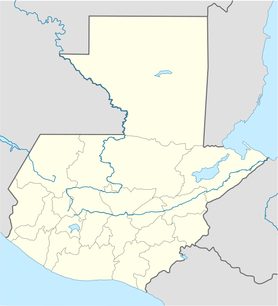 Chicamán Location in Guatemala | |
| Coordinates: 15°20′54″N 90°47′58″W / 15.34833°N 90.79944°WCoordinates: 15°20′54″N 90°47′58″W / 15.34833°N 90.79944°W | |
| Country |
|
| Department |
|
| Municipality | Chicamán |
| Established as a municipality | 1984 |
| Government | |
| • Type | Municipal |
| • Mayor | Diego Us (PP) |
| Area | |
| • Municipality | 199 sq mi (516 km2) |
| Elevation | 4,820 ft (1,470 m) |
| Highest elevation | 7,306 ft (2,227 m) |
| Lowest elevation | 1,601 ft (488 m) |
| Population (Census 2002) | |
| • Municipality | 25,280 |
| • Urban | 1,893 |
| • Ethnicities | Poqomchi', Uspantek, K'iche' , K'ekchi, Ladino |
| • Religions | Eastern Orthodoxy or Oriental Orthodoxy,[1] Roman Catholicism, Evangelicalism, Maya |
| Climate | Cfb |
| Website | http://www.inforpressca.com/chicamanq/ |
Chicamán is a municipality in the Guatemalan department of El Quiché.
Tourists may visit the Canyon El Barbudo and the Quatro Chorros waterfalls.[2]
References
- ↑ http://www.mayanorthodoxy.com/map/
- ↑ "Turismo en el Municipio de Chicamán, Quiché" (in Spanish). Retrieved 2008-01-17.
External links
Capital: Santa Cruz del Quiché | ||
| Municipalities | 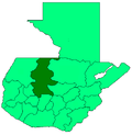 | |
This article is issued from Wikipedia - version of the 11/21/2016. The text is available under the Creative Commons Attribution/Share Alike but additional terms may apply for the media files.