Chepigana District
| Chepigana District | |
|---|---|
| District | |
 | |
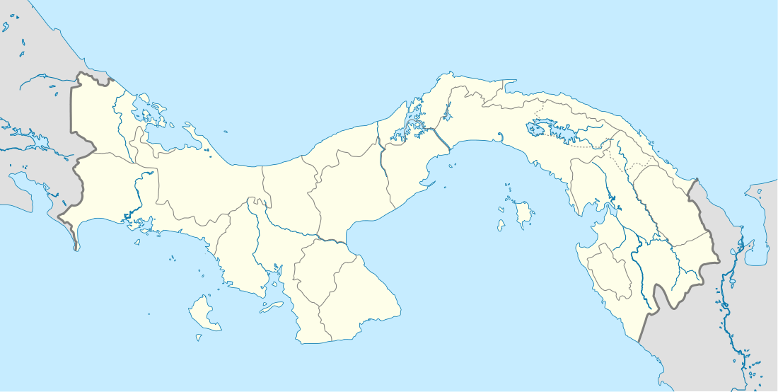 Chepigana District Location of the district capital in Panama | |
| Coordinates: 8°24′36″N 78°9′0″W / 8.41000°N 78.15000°W | |
| Country |
|
| Province | Darién Province |
| Capital | La Palma |
| Area | |
| • Total | 2,822 sq mi (7,309 km2) |
| Population (2000) | |
| • Total | 27,461 |
| Time zone | ETZ (UTC-5) |
Chepigana District (Spanish pronunciation: [tʃepiˈɣana]) is a district (distrito) of Darién Province in Panama. The population according to the 2000 census was 27,461.[1]The district covers a total area of 7,309 km². The capital lies at the city of La Palma.[1]
Administrative divisions
The district is divided administratively into the following corregimientos:
La Palma (capital), Camoganti, Chepigana, Garachiné, Jaqué, Puerto Piña, Río Congo, Río Iglesias, Sambú, Setegantí, Taimatí, Tucutí, Agua Fría, Cucunatí, Río Congo Arriba and Santa Fe.
References
- 1 2 "Districts of Panama". Statoids. Retrieved April 13, 2009.
| Bocas del Toro Province | |
|---|---|
| Chiriquí Province | |
| Coclé Province | |
| Colón Province | |
| Darién Province | |
| Herrera Province | |
| Los Santos Province | |
| Panamá Province | |
| Veraguas Province | |
| West Panamá Province | |
Coordinates: 8°24′36″N 78°9′0″W / 8.41000°N 78.15000°W
This article is issued from Wikipedia - version of the 10/5/2015. The text is available under the Creative Commons Attribution/Share Alike but additional terms may apply for the media files.