Chavdar, Sofia Province
| Chavdar Чавдар | |
|---|---|
 Chavdar Location of Chavdar | |
| Coordinates: 42°39′N 24°03′E / 42.650°N 24.050°ECoordinates: 42°39′N 24°03′E / 42.650°N 24.050°E | |
| Country |
|
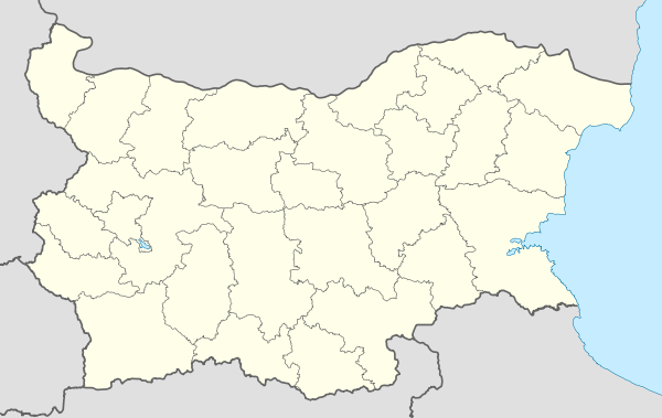
| Province | Sofia |
| Municipality | Chavdar Municipality |
| Government | |
| • Mayor | Pencho Gerov |
| Elevation | 570 m (1,870 ft) |
| Population (2008)[1] | |
| • Total | 1,369 |
| Time zone | EET (UTC+2) |
| • Summer (DST) | EEST (UTC+3) |
| Postal Code | 2084 |
| Area code(s) | 07189 |
Chavdar (Bulgarian: Чавдар, pronounced [tʃəvˈdar]) is a village in western Bulgaria, part of Sofia Province. It is the administrative centre of Chavdar Municipality, which lies in the easternmost part of Sofia Province. Chavdar is situated in the Zlatitsa–Pirdop Valley, 80 kilometres east of the capital Sofia, at the foot of the western Balkan Mountains and close to Sredna Gora. The village is the only place in the eponymous municipality, which has an area of 70 square kilometres. Until 1899, Chavdar was named Kolanlare, then it was renamed to Radoslavovo (after Vasil Radoslavov), and it acquired its present name on 5 January 1946 after the partisan brigade that was active in the region.
References
External links
- Chavdar municipality website (Bulgarian)
Capital: Chavdar | |
| Villages |
|
| Landmarks | |
| Culture | |
| Notable people | |
This article is issued from Wikipedia - version of the 4/30/2015. The text is available under the Creative Commons Attribution/Share Alike but additional terms may apply for the media files.