Chattahoochee State Park
| Chattahoochee State Park | |
| Alabama State Park | |
| Country | United States |
|---|---|
| State | Alabama |
| County | Houston |
| Elevation | 118 ft (36 m) [1] |
| Coordinates | 31°00′27″N 85°01′59″W / 31.00750°N 85.03306°WCoordinates: 31°00′27″N 85°01′59″W / 31.00750°N 85.03306°W [1] |
| Area | 596 acres (241 ha) |
| Established | 1930s |
| Management | Houston County, Alabama |
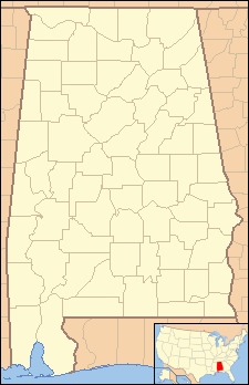 Location in Alabama
| |
| Website: Chattahoochee State Park | |
Chattahoochee State Park is a state-owned, public recreation area located in the extreme southeast corner of Alabama operated by the government of Houston County, Alabama. The park occupies 596 acres (241 ha) along Irwin's Mill Creek on the Florida-Alabama border.[2]
History
In 1818, land near the park was the site of an early skirmish in the First Seminole War.[3] The state park was developed by members of the Civilian Conservation Corps during the 1930s. Their handiwork can still be seen in the natural stone dam built to create the 23-acre (9.3 ha) CC Pond and in the dirt roads that still wind through the park.[3]
Activities and amenities
The park offers fishing, boating and a boat ramp in addition to campsites for RVs and tents.[4] The park also has a picnic area, beach, eight hiking trails, and dedicated equestrian trails.[2]
References
- 1 2 "Chattahoochee State Park". Geographic Names Information System. United States Geological Survey.
- 1 2 Ress, Thomas V. (August 11, 2015). "Chattahoochee State Park". Encyclopedia of Alabama. Alabama Humanities Foundation. Retrieved January 25, 2016.
- 1 2 "Chattahoochee State Park - Gordon, Alabama". ExploreSouthernHistory.com. Retrieved January 25, 2016.
- ↑ "Chattahoochee". Parks. Houston County, Alabama. Retrieved January 25, 2016.
External links
- Chattahoochee State Park Houston County, Alabama