Charlebois, Manitoba
| Charlebois | |
| Settlement | |
| Country | Canada |
|---|---|
| Province | Manitoba |
| Region | Northern |
| Census division | 23 |
| Elevation | 111 m (364 ft) |
| Coordinates | 56°41′28″N 94°04′17″W / 56.69111°N 94.07139°WCoordinates: 56°41′28″N 94°04′17″W / 56.69111°N 94.07139°W |
| Timezone | Central (UTC-6) |
| - summer (DST) | Central (UTC-5) |
| Area code | 204 |
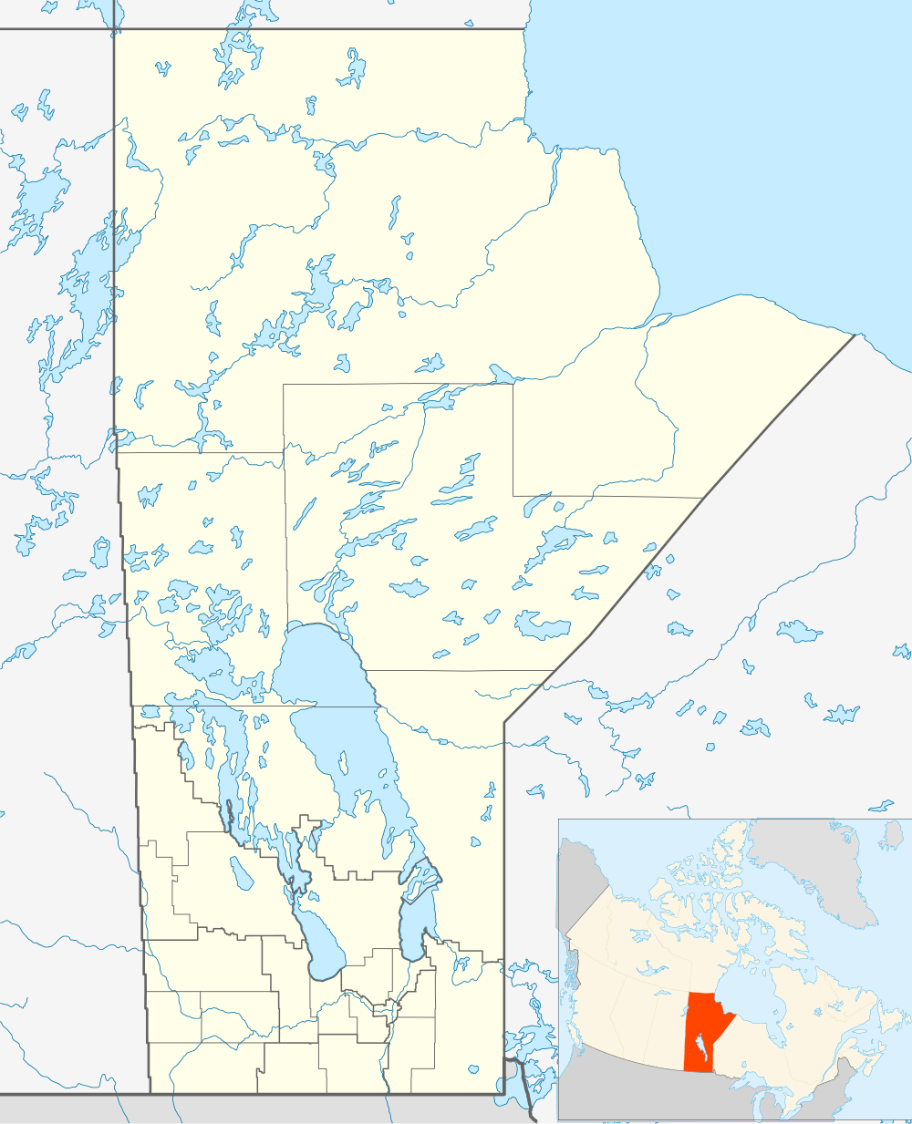 Location of Charlebois in Manitoba
| |
Charlebois is an unincorporated area and railway point in Census division 23 in Northern Manitoba, Canada,[1] located 20 kilometres (12 mi) north northeast of the Limestone Generating Station (on the Nelson River).
History
Charlebois was founded with the building of the Hudson Bay Railway in the third decade of the 20th century. When the originally intended final section line route north east to Port Nelson was abandoned, the construction of the new route of the final section from Amery (14 kilometres or 9 miles to the south) north to Churchill, which opened in 1929, led to its founding.
Transportation
Charlebois is the site of Charlebois railway station, served by the Via Rail Winnipeg – Churchill train.
References
- ↑ "Charlebois". Geographical Names Data Base. Natural Resources Canada. Retrieved 2012-07-03.
This article is issued from Wikipedia - version of the 3/1/2014. The text is available under the Creative Commons Attribution/Share Alike but additional terms may apply for the media files.