Chanda Singh Wala
| Chanda Singh Wala | |
|---|---|
 Chanda Singh Wala | |
| Coordinates: 31°03′N 74°22′E / 31.05°N 74.37°E | |
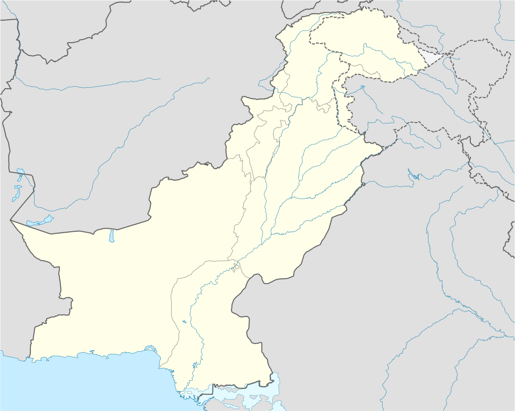
| Country |
|
| Province | Punjab |
| Elevation | 195 m (640 ft) |
| Time zone | PST (UTC+5) |
Chanda Singh Wala is a village in Kasur District in the Punjab province of Pakistan. Word 'wala' means 'of' in English. It is located at 31°5'0N 74°37'0E with an altitude of 195 metres (643 feet).[1] It is said that Before the Partition it was a Sikh Village But During the 1947 Partition They Migrated to East Punjab India.
References
Coordinates: 31°5′0″N 74°37′0″E / 31.08333°N 74.61667°E
This article is issued from Wikipedia - version of the 11/19/2016. The text is available under the Creative Commons Attribution/Share Alike but additional terms may apply for the media files.