Champe
For the West Virginian crags, see Champe Rocks.
| Champe चम्पे | |
|---|---|
| Village development committee | |
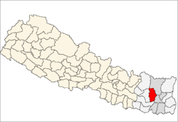
 Champe Location in Nepal | |
| Coordinates: 27°14′N 87°09′E / 27.23°N 87.15°ECoordinates: 27°14′N 87°09′E / 27.23°N 87.15°E | |
| Country |
|
| Zone | Kosi Zone |
| District | Bhojpur District |
| Population (1991) | |
| • Total | 2,974 |
| Time zone | Nepal Time (UTC+5:45) |
Champe is a village development committee in Bhojpur District in the Kosi Zone of eastern Nepal. At the time of the 1991 Nepal census it had a population of 2974 persons living in 561 individual households.[1]
References
- ↑ "Nepal Census 2001". Nepal's Village Development Committees. Digital Himalaya. Archived from the original on 12 October 2008. Retrieved 13 September 2008.
External links
This article is issued from Wikipedia - version of the 11/19/2016. The text is available under the Creative Commons Attribution/Share Alike but additional terms may apply for the media files.