Chaghcharan Airport
| Chaghcharan Airport ميدان هوايي چغچران | |||||||||||
|---|---|---|---|---|---|---|---|---|---|---|---|
| IATA: CCN – ICAO: OACC | |||||||||||
| Summary | |||||||||||
| Airport type | Public/Military | ||||||||||
| Owner |
| ||||||||||
| Operator |
[Commercial Airlines] Afghan National Security Forces (ANSF) | ||||||||||
| Serves | Chaghcharan | ||||||||||
| Location | Chaghcharan, Afghanistan | ||||||||||
| Elevation AMSL | 7,475 ft / 2,278 m | ||||||||||
| Coordinates | 34°31′35″N 65°16′15″E / 34.52639°N 65.27083°ECoordinates: 34°31′35″N 65°16′15″E / 34.52639°N 65.27083°E | ||||||||||
| Map | |||||||||||
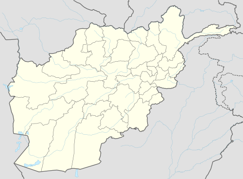 CCN Location of airport in Afghanistan | |||||||||||
| Runways | |||||||||||
| |||||||||||
Chaghcharan Airport (IATA: CCN, ICAO: OACC) is an airport serving the city of Chaghcharan in Ghor Province, Afghanistan.[3][4] It is located northeast of the Hari River, one mile east/northeast of Chaghcharan. It has a runway approximately 2,000 metres (6,600 ft) in length, taxi way and apron asphalted and capable of supporting small to medium (C130) sized aircraft. The airport is mostly used by the International Security Assistance Force (ISAF) and the Afghan National Security Forces (ANSF) but there are also regularly scheduled commercial flights as of May, 2014.
Airlines and destinations
| Airlines | Destinations |
|---|---|
| East Horizon Airlines | Herat, Kabul[5] |
| Afghan Jet International | Kabul[6] |
See also
References
- ↑ ,Airport record for Chakhcharan Airport at Landings.com. Retrieved 2013-8-1
- ↑ AIP Afghanistan - Important Information
- ↑ Accident history for CCN at Aviation Safety Network
- ↑ Airport information for OACC at Great Circle Mapper.
- ↑ 2014 Timetable, Twice weekly (Saturday and Wednesday) flights, http://flyeasthorizon.com/flight-schedule/
- ↑ Afghan Jet route map Archived January 11, 2014, at the Wayback Machine.
External links
- Airport record for Chakhcharan Airport at Landings.com.
- Current weather for OACC at NOAA/NWS
This article is issued from Wikipedia - version of the 11/27/2016. The text is available under the Creative Commons Attribution/Share Alike but additional terms may apply for the media files.