Cela, Alcobaça
| Cela | |
|---|---|
| Parish | |
 Cela | |
| Coordinates: 39°32′13″N 9°02′17″W / 39.537°N 9.038°WCoordinates: 39°32′13″N 9°02′17″W / 39.537°N 9.038°W | |
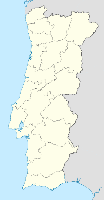
| Country | Portugal |
| Region | Centro |
| Subregion | Oeste |
| Intermunic. comm. | Oeste |
| District | Leiria |
| Municipality | Alcobaça |
| Area | |
| • Total | 25.83 km2 (9.97 sq mi) |
| Population (2011) | |
| • Total | 3,264 |
| • Density | 130/km2 (330/sq mi) |
Cela is a town in Alcobaça Municipality in Portugal. The population in 2011 was 3,264,[1] in an area of 25.83 km².[2] Town status received in 1999.
References
| Wikimedia Commons has media related to Cela, Alcobaça. |
This article is issued from Wikipedia - version of the 11/17/2016. The text is available under the Creative Commons Attribution/Share Alike but additional terms may apply for the media files.