Ceguaca
| Ceguaca | |
|---|---|
| Municipality | |
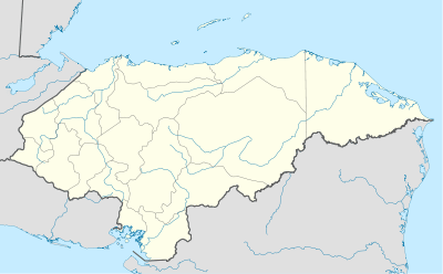 Ceguaca Location in Honduras | |
| Coordinates: HN 14°48′N 88°12′W / 14.800°N 88.200°W | |
| Country | Honduras |
| Department | Santa Bárbara |
| Villages | 5 |
| Area | |
| • Total | 61.2 km2 (23.6 sq mi) |
| Population (2015) | |
| • Total | 5,145 |
| • Density | 84/km2 (220/sq mi) |
| Climate | Aw |
Ceguaca (Spanish pronunciation: [seˈɣwaka]) is a municipality in the Honduran department of Santa Bárbara.
Their latitude is 14.80000 and their longitude is -88.20000. [1]
References

Coordinates: 14°48′00″N 88°12′00″W / 14.800°N 88.200°W
This article is issued from Wikipedia - version of the 1/17/2016. The text is available under the Creative Commons Attribution/Share Alike but additional terms may apply for the media files.