Carolina del Príncipe, Antioquia
| Carolina del Príncipe, Antioquia | |||
|---|---|---|---|
| Municipality and town | |||
 | |||
| |||
 Location of the municipality and town of Carolina del Príncipe, Antioquia in the Antioquia Department of Colombia | |||
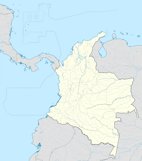 Carolina del Príncipe, Antioquia Location in Colombia | |||
| Coordinates: 6°43′22″N 75°16′57″W / 6.72278°N 75.28250°W | |||
| Country |
| ||
| Department |
| ||
| Subregion | Northern | ||
| Time zone | Colombia Standard Time (UTC-5) | ||
.svg.png)

Carolina del Príncipe is a municipality in the Colombian department of Antioquia, found 105 km north of Medellín, with an altitude of 1,807 m above sea level. Carolina del Príncipe is part of the subregion of Northern Antioquia.
Carolina is a small town of well laid-out cobblestone streets, containing many houses with antique handmade wooden balconies. The municipal total area covers some 118 km², with a mountainous territory corresponding to the central spine of the Andes and bounded by the Concepción or Minavieja, Guadalupe, San Pablo and Tenche rivers. It has a population of 666 inhabitants and its economy is based on animal husbandry (dairy and meat) and the cultivation of maize, sugar cane, rice, cocoa, and corn. The settlement began to form in 1785, being converted into a parish two years later. The name was chosen in honor of Carlos IV of Spain, then the prince in line to be heir of his father's throne. It was constituted as a municipality in 1814.
Capital: Medellín | |||||||||||||||||||||||||||||||||||
| Regions and municipalities |
| ||||||||||||||||||||||||||||||||||
| Related topics | |||||||||||||||||||||||||||||||||||
Coordinates: 6°43′33″N 75°17′03″W / 6.72583°N 75.2842°W