Capitán Fuentes Martínez Airport
| Capitán Fuentes Martínez Airfield Aeródromo Capitán Fuentes Martínez | |||||||||||||||||||
|---|---|---|---|---|---|---|---|---|---|---|---|---|---|---|---|---|---|---|---|
| IATA: WPR – ICAO: SCFM | |||||||||||||||||||
| Summary | |||||||||||||||||||
| Airport type | Public | ||||||||||||||||||
| Serves | Porvenir | ||||||||||||||||||
| Location |
| ||||||||||||||||||
| Elevation AMSL | 86 ft / 26 m | ||||||||||||||||||
| Coordinates | 53°15′13.3″S 070°19′9.3″W / 53.253694°S 70.319250°WCoordinates: 53°15′13.3″S 070°19′9.3″W / 53.253694°S 70.319250°W | ||||||||||||||||||
| Map | |||||||||||||||||||
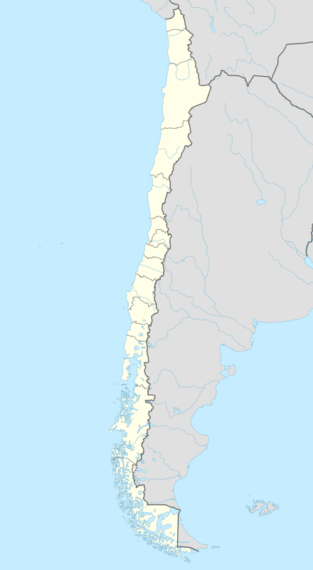 SCFM Location of Capitán Fuentes Martínez Airfield in Chile | |||||||||||||||||||
| Runways | |||||||||||||||||||
| |||||||||||||||||||
Capitán Fuentes Martínez Airfield (Spanish: Aeródromo Capitán Fuentes Martínez, IATA: WPR, ICAO: SCFM) is a public use airport located near Porvenir, Magallanes y Antártica Chilena, Chile.
See also
References
- ↑ Airport record for Capitán Fuentes Martínez Airfield at Landings.com. Retrieved 2013-09-10
- ↑ Google (2013-09-10). "location of Capitán Fuentes Martínez Airfield" (Map). Google Maps. Google. Retrieved 2013-09-10.
External links
- Airport record for Capitán Fuentes Martínez Airfield at Landings.com
- Current weather for SCFM at NOAA/NWS
This article is issued from Wikipedia - version of the 11/8/2016. The text is available under the Creative Commons Attribution/Share Alike but additional terms may apply for the media files.