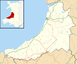
Capel Dewi, Aberystwyth
| Capel Dewi | |
 Part of the LIDAR array at Capel Dewi |
|
 Capel Dewi |
|
| OS grid reference | SN608832 |
|---|---|
| Community | Y Faenor |
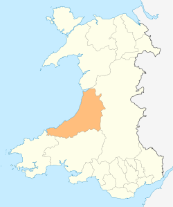
| Principal area | Ceredigion |
| Ceremonial county | Dyfed |
| Country | Wales |
| Sovereign state | United Kingdom |
| Postcode district | SY23 |
| Dialling code | 01970 |
| Police | Dyfed-Powys |
| Fire | Mid and West Wales |
| Ambulance | Welsh |
| EU Parliament | Wales |
| UK Parliament | Ceredigion |
| Welsh Assembly | Ceredigion |
|
|
Coordinates: 52°25′45″N 4°02′55″W / 52.429146°N 4.048625°W
Capel Dewi is a hamlet in Ceredigion, Wales, approximately 3.5 miles (5.6 km) east of Aberystwyth. It is one of two settlements called Capel Dewi in the county, the other being Capel Dewi near Llandysul.
The majority of Capel Dewi lies south of the River Peithyll, a tributary of the Afon Clarach. One of the more unusual features of the hamlet is the nearby LIDAR system, which is run by the University of Manchester. In 2010 the LIDAR system at Capel Dewi provided vital information in the tracking of the ash cloud caused by the Icelandic volcano Eyjafjallajökull.[1]
Notes
- ↑ "Sleepy village radar system tracks Iceland volcano ash". BBC News. 22 April 2010. Retrieved 22 December 2012.
This article is issued from Wikipedia - version of the 1/24/2016. The text is available under the Creative Commons Attribution/Share Alike but additional terms may apply for the media files.