Cape Thorvaldsen
| Cape Thorvaldsen | |
|---|---|
| Kap Thorvaldsen | |
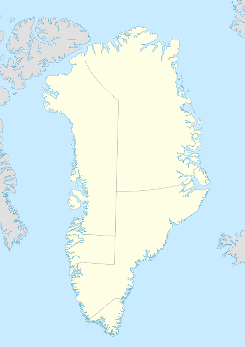 | |
| Location | Kujalleq, Greenland |
| Coordinates | 60°40′N 47°55′W / 60.667°N 47.917°WCoordinates: 60°40′N 47°55′W / 60.667°N 47.917°W |
| Offshore water bodies | Labrador Sea |
| Area | Arctic |
Cape Thorvaldsen (Danish: Kap Thorvaldsen) is a headland in southwest Greenland in the Kujalleq municipality.
Geography
The cape is located southeast of Cape Desolation near the settlements of Qaqortoq (Julianehåb) and Narsaq Kujalleq (Frederiksdal).[1] The Outer Kitsissut (Torstein Islands) lie 26 km west-north-west of the cape.[2][3]
References
- ↑ Kap Thorvaldsen
- ↑ Wilhelm August Graah, Narrative of an Expedition to the East Coast of Greenland, p. 160
- ↑ War Diary, 3/1/43 to 5/31/43 › Page 36
External links
This article is issued from Wikipedia - version of the 6/22/2016. The text is available under the Creative Commons Attribution/Share Alike but additional terms may apply for the media files.