Cape Aya
| Cape Aya | |
|---|---|
| Мис Айя | |
|
Cape Aya | |
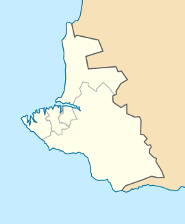 Location in Sevastopol | |
| Location |
Sevastopol, |
| Coordinates | 44°25′44″N 33°38′56″E / 44.42889°N 33.64889°ECoordinates: 44°25′44″N 33°38′56″E / 44.42889°N 33.64889°E |
.jpg)
Cape Aya ("the holy one" in Greek, Άγια) is a rocky promontory jutting out into the Black Sea southeast of Balaklava. This 13-km-long offspur of the Crimean Mountains separates Laspi Bay (to the east) from Balaklava Bay (to the west).
The highest point, Kokiya-Kiya (literally "Blue Cliff") is 559 m (1,834 ft). The headland is full of grottoes; it is protected as a national zakaznik.[1]
A storm off Cape Aya is the subject of one of Aivazovsky's paintings. A Soviet guided missile system was located on Cape Aya.
Viktor Yanukovych, the former President of Ukraine, ordered the construction of a luxurious private residence on Cape Aya. The "New Mezhyhyria" was still unfinished when the 2014 Ukrainian Revolution ousted Yanukovych from his post.[2]
References
- ↑ Marine Protected Areas for Whales, Dolphins and Porpoises Erich Hoyt - 2012 "The area between Cape Aya and Cape Fiolent, included in this MPA proposal, has also been identified as important habitat for all three cetaceans.
- ↑ http://www.unian.net/politics/888936-v-kryimu-otkryili-dostup-k-myisu-ayya-gde-stroili-mejigore-2-udar.html