Camas Creek (Big Wood River)
| Camas Creek | |
 Camas Creek east of Fairfield, Idaho | |
| Country | United States |
|---|---|
| State | Idaho |
| Counties | Camas County, Idaho, Elmore County, Idaho, Blaine County, Idaho |
| Source | |
| - location | west of Hill City, Elmore County, Idaho |
| - elevation | 5,807 ft (1,770 m) [1] |
| - coordinates | 43°15′28″N 115°20′57″W / 43.25778°N 115.34917°W [2] |
| Mouth | Big Wood River |
| - location | Magic Reservoir, Camas/Blaine counties, Idaho |
| - elevation | 4,800 ft (1,463 m) [2] |
| - coordinates | 43°19′36″N 114°24′06″W / 43.32667°N 114.40167°WCoordinates: 43°19′36″N 114°24′06″W / 43.32667°N 114.40167°W [2] |
| Length | 64 mi (103 km) [3] |
| Basin | 698 sq mi (1,808 km2) [4] |
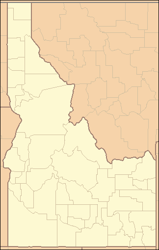 Location of the mouth of Camas Creek in Idaho
| |
Camas Creek is a 64-mile (103 km) long[3] tributary of the Big Wood River in the U.S. state of Idaho. Beginning at an elevation of 5,807 feet (1,770 m)[1] west of Hill City in eastern Elmore County, it flows east into Camas County, where it is roughly paralleled by U.S. Route 20. About 10 miles (16 km) east of Fairfield, it forms the Camas-Blaine county line and continues east to its mouth at Magic Reservoir,[5] at an elevation of 4,800 feet (1,463 m).[2] Camas Creek has a 698-square-mile (1,810 km2) watershed.[4]
See also
References
- 1 2 Source elevation derived from Google Earth search using GNIS source coordinates.
- 1 2 3 4 "Camas Creek". Geographic Names Information System. United States Geological Survey. June 21, 1979. Retrieved February 12, 2013.
- 1 2 "National Hydrography Dataset". United States Geological Survey. Retrieved February 12, 2013.
- 1 2 "Camas Creek Total Maximum Daily Load Implementation Plan for Agriculture" (PDF). Idaho Department of Environmental Quality. August 2007. Retrieved February 12, 2013.
- ↑ Idaho Road and Recreation Atlas (Map) (2nd ed.). 1:250,000. Benchmark Maps. 2010. pp. 73–74. ISBN 978-0-929591-06-3. OCLC 567571371.
This article is issued from Wikipedia - version of the 9/11/2016. The text is available under the Creative Commons Attribution/Share Alike but additional terms may apply for the media files.