Calabogie Lake
| Calabogie Lake | |
| Lake | |
 Calabogie Lake seen from Calabogie Peaks | |
| Country | Canada |
|---|---|
| Province | Ontario |
| Region | Eastern Ontario |
| County | Renfrew |
| Municipality | Greater Madawaska |
| Part of | Saint Lawrence River drainage basin |
| Tributaries | |
| - Primary inflows | Madawaska River |
| Elevation | 155 m (509 ft) |
| Coordinates | 45°16′38″N 76°44′34″W / 45.27722°N 76.74278°WCoordinates: 45°16′38″N 76°44′34″W / 45.27722°N 76.74278°W |
| Primary outflow | Madawaska River |
| - coordinates | 45°18′12″N 76°42′42″W / 45.30333°N 76.71167°W |
| Length | 6.5 km (4 mi) |
| Width | 4.0 km (2 mi) |
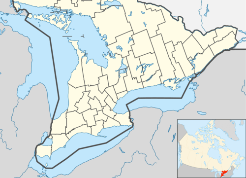 Location of Calabogie Lake in southern Ontario
| |
Calabogie Lake is a reservoir lake in the municipality of Greater Madawaska, Renfrew County in Eastern Ontario, Canada.[1][2] It is on the Madawaska River system, is part of the Saint Lawrence River drainage basin, and is located in the geographic townships of Bagot Township[3] and Blythfield Township.[4]
The original natural lake[5] expanded to its current dimensions upon the completion of the Calabogie Station dam and generating station (now owned and operated by Ontario Power Generation) during World War I.[6]
The communities of Calabogie and Barryvale are on the lake. Renfrew County Road 511 crosses the lake in Calabogie near the river mouth, and Renfrew County Road 508 runs along the northwest shore.
Tributaries
Clockwise from the mouth
- Stoughtons Creek
- Madawaska River
- Constant Creek
References
- ↑ "Calabogie Lake". Geographical Names Data Base. Natural Resources Canada. Retrieved 2012-10-15.
- ↑ "Calabogie Lake". Atlas of Canada. Natural Resources Canada. 2010-02-04. Retrieved 2012-10-15. Shows the area of the lake highlighted on a map.
- ↑ "Bagot" (PDF). Geology Ontario - Historic Claim Maps. Ontario Ministry of Northern Development, Mines and Forestry. Retrieved 2012-10-15.
- ↑ "Blithfield" (PDF). Geology Ontario - Historic Claim Maps. Ontario Ministry of Northern Development, Mines and Forestry. Retrieved 2012-10-15.
- ↑ "Map of Renfrew County". 1880 Map of Ontario Counties. The Canadian County Digital Atlas Project at McGill University. 2001. Retrieved 2012-10-15.
- ↑ "Calabogie Station". Ontario Power Generation. Retrieved 2012-10-15.
Other map sources:
- Map 10 (PDF) (Map). 1 : 700,000. Official road map of Ontario. Ministry of Transportation of Ontario. 2012-01-01. Retrieved 2012-10-15.
- Restructured municipalities - Ontario map #5 (Map). Restructuring Maps of Ontario. Ontario Ministry of Municipal Affairs and Housing. 2006. Retrieved 2012-10-15.