Cadair Berwyn
| Cadair Berwyn | |
|---|---|
 Cadair Berwyn and Llyn Lluncaws | |
| Highest point | |
| Elevation | 832 m (2,730 ft) |
| Prominence | 346 m (1,135 ft) |
| Listing | Marilyn, Hewitt, council top, Nuttall |
| Coordinates | 52°53′02″N 3°22′49″W / 52.8839°N 3.3802°WCoordinates: 52°53′02″N 3°22′49″W / 52.8839°N 3.3802°W |
| Naming | |
| Translation | White-rick chair (Welsh) |
| Pronunciation | Welsh: [ˈkadair ˈbɛrwɨn] |
| Geography | |
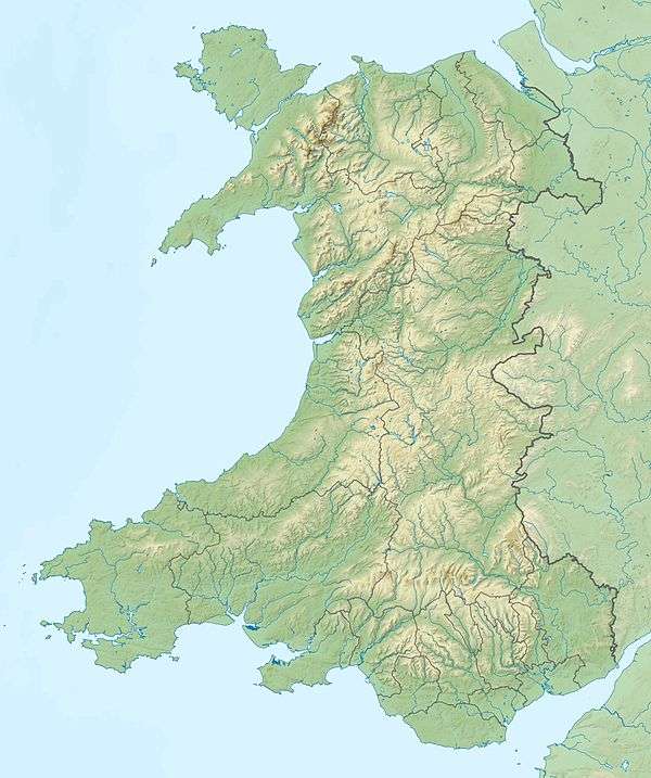 Cadair Berwyn Denbighshire / Powys, UK | |
| Parent range | Berwyn range |
| OS grid | SJ071323 |
| Topo map | OS Landranger 125 |
| Listed summits of Cadair Berwyn | ||||
| Name | Grid ref | Height | Status | |
|---|---|---|---|---|
| Moel Sych | SJ066318 | 827 metres (2,713 ft) | Hewitt, Nuttall | |
| Cadair Berwyn North Top | SJ066318 | 827 metres (2,713 ft) | Nuttall | |
| Cadair Bronwen | SJ066318 | 785 metres (2,575 ft) | Hewitt, Nuttall | |
| Tomle | SJ085335 | 742 metres (2,434 ft) | sub Hewitt, Nuttall | |
| Moel yr Ewig | SJ080317 | 695 metres (2,280 ft) | sub Hewitt, Nuttall | |
| Foel Wen | SJ099334 | 691 metres (2,267 ft) | Hewitt, Nuttall | |
| Mynydd Tarw | SJ112324 | 681 metres (2,234 ft) | Hewitt, Nuttall | |
| Godor | SJ094307 | 679 metres (2,228 ft) | sub Hewitt, Nuttall | |
| Godor North Top | SJ089311 | 675 metres (2,215 ft) | Nuttall | |
| Post Gwyn | SJ085335 | 665 metres (2,182 ft) | Hewitt, Nuttall | |
| Moel Fferna | SJ085335 | 630 metres (2,067 ft) | Hewitt, Nuttall | |
| Pen Bwlch Llandrillo | SJ085335 | 621 metres (2,037 ft) | Hewitt, Nuttall | |
| Glan-hafon | SJ085335 | 608 metres (1,995 ft) | sub Hewitt | |
| Pen Bwlch Llandrillo East Top | SJ085335 | 604 metres (1,982 ft) | sub Hewitt | |
Cadair Berwyn or Cader Berwyn is a mountain summit in north east Wales. It is the highest point in the Berwyn range, and the highest significant summit in Wales outside the National Parks. Cadair Berwyn and Cyrniau Nod to the west are the two Marilyns that form the Berwyn range.[1]
The mountain lies on main ridge of the Berwyns which runs north–south.[2] The eastern side of the ridge is characterised by steep drops and crags including Craig Berwyn north of the summit and Craig y Llyn to the south. Craig y Llyn forms the headwall of a cwm, and it is to this that the word cadair (chair in Welsh) presumably refers. Further north along the ridge is Cadair Bronwen, whilst to south the ridge continues to Moel Sych (Welsh pronunciation: [ˈmɔil ˈsɨːx], meaning 'dry hill').
It is often reported that Moel Sych, 1 kilometre (0.6 mi) along the ridge, is of equal height, but Cadair Berwyn's spot height on the Ordnance Survey maps, where the trig point stands, is not the true summit. Cadair Berwyn's summit, 200 metres (220 yd) south of the trig point, is 3 metres (10 ft) taller than Moel Sych. This summit is listed as Cadair Berwyn New Top on the Nuttall list. However, the name given to it by its discoverer, Bernard Wright, was Craig Uchaf.
In 1987 Bernard Wright, a rambler from Cheshire, was standing on Cadair Berwyn (then said to be the highest mountain in Clwyd) when he noticed that a nearby peak appeared to be higher. After first denying it, the cartographers at the Ordnance Survey finally admitted that Bernard had discovered a 'new mountain' at 830 metres above sea level. Bernard's name for this peak was Craig Uchaf (highest rock) the topographical name fitting in well with those that the Welsh have been giving their landscape for centuries. Near the summit is a Bronze Age cairn suggesting that over two thousand years ago people had recognised the true top.
Several other summits in the area are listed as Hewitts or Nuttalls, including Foel Wen ([ˈvɔil ˈwɛn], Welsh for white hill) and Mynydd Tarw ([ˈmɐnɨð ˈtæɾu], bull mountain).
The summit lies on the border between Powys and Denbighshire, and is the highest point in Denbighshire. The northern end Craig Berwyn is the highest point in Wrexham county borough. It stands between Snowdon and the Wrekin and blocks their line-of-sight.
There is a standing stone in the area, located near the summit between Cadair Berwyn and Tomle. This was re-erected in June 2008 by High Sports. The standing stone can be found at SJ080337.[3]
Below the mountain is a small lake, Llyn Lluncaws.
It is the location, as well as Cadair Bronwen, of an alleged UFO landing in 1974, known as the Berwyn Mountain UFO incident.
References
- ↑ Nuttall, John & Anne (1999). The Mountains of England & Wales - Volume 1: Wales (2nd edition ed.). Milnthorpe, Cumbria: Cicerone. ISBN 1-85284-304-7.
- ↑ OS. "Cadair Berwyn location". Retrieved March 6, 2015.
- ↑ High Sports. "Cadair Berwyn Standing Stone". Retrieved June 10, 2008. (English)
Further reading
- Gordon Emery - Curious Clwyd (1994) ISBN 1-872265-99-5
External links
- Computer generated summit panoramas Cadair Berwyn index
- www.geograph.co.uk : photos of Cadair Berwyn and surrounding area