Cáqueza
| Cáqueza | |||
|---|---|---|---|
| Municipality and town | |||
|
View of Cáqueza | |||
| |||
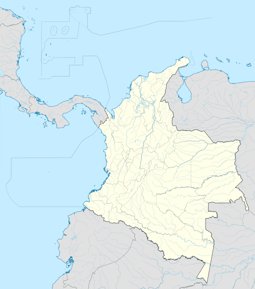
 Location of the municipality and town inside Cundinamarca Department of Colombia | |||
 Cáqueza Location in Colombia | |||
| Coordinates: 4°24′19″N 73°56′52″W / 4.40528°N 73.94778°WCoordinates: 4°24′19″N 73°56′52″W / 4.40528°N 73.94778°W | |||
| Country |
| ||
| Department |
| ||
| Province | Eastern Province, Cundinamarca | ||
| Founded | 23 October 1600 | ||
| Founded by | Luis Enríquez | ||
| Government | |||
| • Mayor |
Guillermo Gutiérrez Cruz (2016-2019) | ||
| Area | |||
| • Municipality and town | 38 km2 (15 sq mi) | ||
| Elevation | 1,746 m (5,728 ft) | ||
| Population (2015) | |||
| • Municipality and town | 17,048 | ||
| • Density | 450/km2 (1,200/sq mi) | ||
| • Urban | 7,297 | ||
| Time zone | Colombia Standard Time (UTC-5) | ||
| Website | Official website | ||

.svg.png)

Cáqueza (Spanish pronunciation: [kaˈkesa]) is a municipality and town of Colombia in the department of Cundinamarca. The town, located on the Altiplano Cundiboyacense, is 39 kilometres (24 mi) from the capital Bogotá. The municipality borders Fosca in the south, Ubaque in the north, Une and Chipaque in the west and Quetame in the east.[1]
Etymology
The name Cáqueza comes from Chibcha and means "Region or enclosure without forest".[1]
History
The area of Cáqueza in the times before the Spanish conquest was inhabited by the Muisca and Cáqueza was ruled by the zipa based in Bacatá.
Modern Cáqueza was founded on October 23, 1600 by Luis Enríquez.[1]
Economy
Main economical activities of Cáqueza are agriculture and livestock farming. Important agricultural products are beans, maize, peas and onions.[1]
Born in Cáqueza
- Daniel Alejandro Torres, Colombian footballer
Gallery
 Church of Cáqueza, exterior view
 Church of Cáqueza, interior
References
- 1 2 3 4 (Spanish) Official website Cáqueza
| Wikimedia Commons has media related to Cáqueza. |