Buzhakan
| Buzhakan Բուժական | |
|---|---|
 Buzhakan Բուժական | |
| Coordinates: 40°27′19″N 44°31′14″E / 40.45528°N 44.52056°ECoordinates: 40°27′19″N 44°31′14″E / 40.45528°N 44.52056°E | |
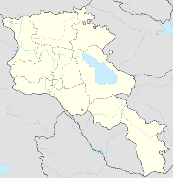
| Country | Armenia |
| Marz (Province) | Kotayk |
| Founded | 1829 |
| Government | |
| • Mayor | Manvel Davtyan |
| Area | |
| • Total | 39.66 km2 (15.31 sq mi) |
| Elevation | 1,820 m (5,970 ft) |
| Population (2008) | |
| • Total | 1,822 |
| • Density | 46/km2 (120/sq mi) |
| Time zone | (UTC+4) |
Buzhakan (Armenian: Բուժական), also Romanized as Bujhakan; formerly, Babakishi), is a village in the Kotayk Province of Armenia. It is situated along the eastern foothills of the Tsaghkunyats mountain range, upon a fertile slope. Early settlers of the village began immigrating to the area in 1829 from Bitlis, Artsap, Alashkert, Mush, Sasun, and Khoy. The community has a school, kindergarten, and a library. In a wooded area to the north of Buzhakan is the well-known 10th-14th century Teghenyats Monastery, and to the east of the village are the ruins of a 6th-7th century church.[1][2]
Gallery
-
.JPG)
Teghenyats Monastery, 10th-14th c.
References
- ↑ "Budjakan (Kotayk)". CAA: Union of Communities of Armenia. Retrieved May 30, 2015.
- ↑ Kiesling, Brady; Kojian, Raffi (2005). Rediscovering Armenia: Guide (2nd ed.). Yerevan: Matit Graphic Design Studio. p. 101. ISBN 99941-0-121-8.
- Buzhakan at GEOnet Names Server
- World Gazeteer: Armenia – World-Gazetteer.com
- Report of the results of the 2001 Armenian Census, National Statistical Service of the Republic of Armenia

This article is issued from Wikipedia - version of the 11/11/2016. The text is available under the Creative Commons Attribution/Share Alike but additional terms may apply for the media files.