Butajira
| Butajira | |
|---|---|
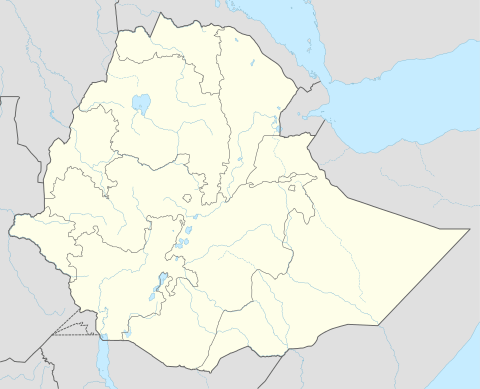 Butajira Location within Ethiopia | |
| Coordinates: 8°7′N 38°22′E / 8.117°N 38.367°ECoordinates: 8°7′N 38°22′E / 8.117°N 38.367°E | |
| Country | Ethiopia |
| Region | Southern Nations, Nationalities and Peoples' |
| Zone | Gurage |
| Elevation | 2,131 m (6,991 ft) |
| Population (2007) | |
| • Total | 33,406 |
| Time zone | EAT (UTC+3) |
| Climate | Cwb |
Butajira is a town and separate woreda in south-central Ethiopia. Located at the base of the Zebidar massif in the Gurage Zone of the Southern Nations, Nationalities and Peoples' Region, this town has a latitude and longitude of 8°07′N 38°22′E / 8.117°N 38.367°E and an elevation of 2131 meters above sea level. It is surrounded by Meskane woreda. It was part of former Meskanena Mareko woreda.
Overview
According to the Gurage Zone government, Butajira is one of 12 towns with electrical power, one of 11 with telephone service and one of nine that have postal service. drinkable water is provided by 4 boreholes.[1] The town has a weekly market on Fridays. Notable landmarks in the town include a fountain on the south side of the town, which is fed from a sacred spring dedicated to saint Tekle Haymanot.[2] The zone authorities mention another local landmark is the local mosque, which was completed in AD 1979 (1972 EC), and has two large praying halls, each with room for 2500 individuals: the hall on the ground floor is for women while the hall on the second floor is for men.[3]
Butajira was founded between 1926 when a missionary Pere Azaiz found nothing there, and 1935 when a German ethnographic expedition found a town laid out in straight lines and square shapes to serve as the administrative center of the Gurage people. After Ras Desta Damtew was taken prisoner on 24 February 1937 in the small village of Eya he was brought to Butajira where, after a perfunctory trial, he was executed that evening. British patrols, acting as part of the East African Campaign, found that arbegnoch groups had dispersed the local Italian positions, leading to both the British and Ethiopian flags being raised over the town on 21 April 1941.[2]
Demographics
Based on the 2007 Census conducted by the CSA, this town has a total population of 33,406, of whom 16,923 are men and 16,483 women. The majority of the inhabitants were reported as Muslim, with 51.27% of the population reporting that belief, while 39.58% practice Ethiopian Orthodox Christianity, and 8.72% were Protestants.[4]
The 1994 national census reported this town had a total population of 20,509 of whom 9,827 were men and 10,682 were women.
References
- ↑ Gurage Zone Socio-Economic Profile Gurage Zone Government web page (accessed 4 September 2007)
- 1 2 "Local History in Ethiopia" The Nordic Africa Institute website (last accessed 31 May 2008)
- ↑ "Tourisms", Gurage Zone Government website (accessed 11 August 2009)
- ↑ Census 2007 Tables: Southern Peoples, Nations and Nationalities Region Archived November 13, 2012, at the Wayback Machine., Tables 2.1, and 3.4.
Woredas of the Gurage Zone | ||
|---|---|---|
| Former woredas | ||
| Current woredas | ||