Burntside, Minnesota
| Burntside, Minnesota | |
|---|---|
| Unincorporated community | |
 Burntside, Minnesota  Burntside, Minnesota Location of the community of Burntside | |
| Coordinates: 47°53′40″N 91°55′44″W / 47.89444°N 91.92889°WCoordinates: 47°53′40″N 91°55′44″W / 47.89444°N 91.92889°W | |
| Country | United States |
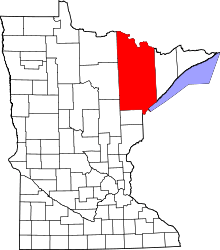
| State | Minnesota |
| County | Saint Louis |
| Township | Morse Township |
| Elevation | 1,391 ft (424 m) |
| Time zone | Central (CST) (UTC-6) |
| • Summer (DST) | CDT (UTC-5) |
| ZIP code | 55731 |
| Area code(s) | 218 |
| GNIS feature ID | 660917[1] |
Burntside is an unincorporated community in Morse Township, Saint Louis County, Minnesota, United States.
The community is located three miles west of Ely, near the junction of State Highway 169 (MN 169) / State Highway 1 (MN 1), and Saint Louis County Road 88 (Grant–McMahan Boulevard).
Burntside Lake and Shagawa Lake are in the vicinity.
References
This article is issued from Wikipedia - version of the 7/28/2016. The text is available under the Creative Commons Attribution/Share Alike but additional terms may apply for the media files.