Bure (disputed zone)
| Bure | |
|---|---|
 Bure | |
| Coordinates: 12°37′N 42°12′E / 12.617°N 42.200°ECoordinates: 12°37′N 42°12′E / 12.617°N 42.200°E | |
| Country |
disputed |
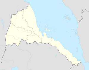
Bure is a small disputed area on the border between Eritrea and Ethiopia, about 80 kilometres (50 mi) west of Asseb with a latitude and a longitude of 12°37′N 42°12′E / 12.617°N 42.200°E. Eritrea considers Bure to be a part of its Southern Red Sea Zone, while Ethiopia considers Bure part of Administrative Zone 1 of its Afar Region. This area lies across the important Awash-Asseb highway, which in the past has been an important trucking route.
Bure fell under Eritrean control after several weeks of fighting in May–June 1998. Eritrea said that Ethiopia had started an offensive at Bure by dropping bombs on the front-lines on 14 February 1999. The fighting in the area continued through the Eritrean-Ethiopian War, with each side claiming it had inflicted heavy casualties on the other, until they agreed to a cease-fire.[1]
The Eritrea-Ethiopia Boundary Commission determined in 2002 that the Bure lay on the Ethiopian side of the border.[2] Relations between Eritrea and Ethiopia soured in November 2005, when 20 Ethiopian soldiers occupied a portion of this area for several days. After peace-keeping troops from United Nations Mission in Ethiopia and Eritrea intervened, the Ethiopian troops withdrew.
References
- ↑ "Local History in Ethiopia" (pdf) The Nordic Africa Institute website (accessed 2 April 2009)
- ↑ "Chapter VI – The Sector Covered by the 1908 Treaty (Eastern Sector)" (Press release). Eritrea-Ethiopia Boundary Commission. 2002-04-13. Retrieved 2007-10-10.