Bunschoten
| Bunschoten | |||
|---|---|---|---|
| Municipality | |||
|
Countryside in Bunschoten | |||
| |||
.svg.png) Location in Utrecht | |||
| Coordinates: 52°15′N 5°22′E / 52.250°N 5.367°ECoordinates: 52°15′N 5°22′E / 52.250°N 5.367°E | |||
| Country | Netherlands | ||
| Province | Utrecht | ||
| Government[1] | |||
| • Body | Municipal council | ||
| • Mayor | Melis van de Groep (CU) | ||
| Area[2] | |||
| • Total | 34.81 km2 (13.44 sq mi) | ||
| • Land | 30.44 km2 (11.75 sq mi) | ||
| • Water | 4.37 km2 (1.69 sq mi) | ||
| Elevation[3] | 0 m (0 ft) | ||
| Population (May 2014)[4] | |||
| • Total | 20,518 | ||
| • Density | 674/km2 (1,750/sq mi) | ||
| Demonym(s) | Bunschoter | ||
| Time zone | CET (UTC+1) | ||
| • Summer (DST) | CEST (UTC+2) | ||
| Postcode | 3750–3754 | ||
| Area code | 033 | ||
| Website |
www | ||
_9.JPG)


Bunschoten ([ˈbɵnsxoːtə(n)]) is a municipality and a town in the Netherlands, in the province of Utrecht. It lies about 7 km north of Amersfoort. Its territory comprises the original municipality of Bunschoten (created in 1204 by the bishop of Utrecht) and the former municipality of Duyst, De Haar and Zevenhuizen, which was a part of Hoogland from 1854 until 1971.
History
Bunschoten was first named in 1294. It was located on the border between Utrecht and Guelders, and it suffered a number of times from invasions from Guelders. In 1383, the bishop of Utrecht gave Bunschoten city rights, which allowed the citizens to build an earthen wall around the town. The fortifications and a part of the town were destroyed at Christmas 1427 in a war between two rival bishops, and were never rebuilt.
Population centres
The municipality of Bunschoten consists of the following cities, towns, villages and/or districts:
- Bunschoten
- Spakenburg
- Eemdijk
- Zevenhuizen
Topography
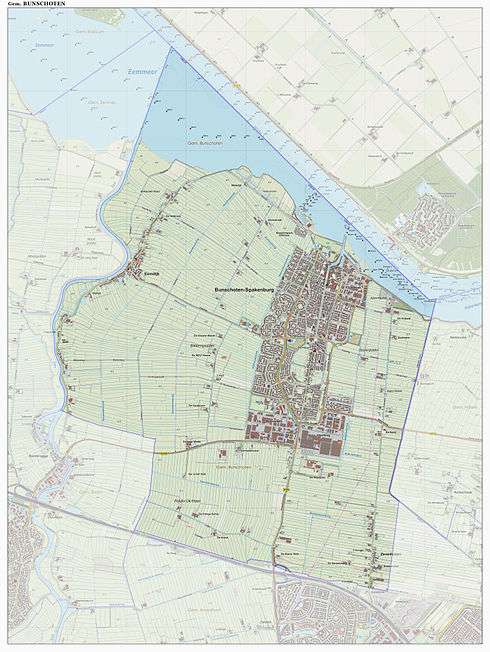
Dutch Topographic map of the municipality of Bunschoten, June 2015.
References
- ↑ "Samenstelling college" [Members of the board] (in Dutch). Gemeente Bunschoten. Retrieved 5 April 2014.
- ↑ "Kerncijfers wijken en buurten" [Key figures for neighbourhoods]. CBS Statline (in Dutch). CBS. 2 July 2013. Retrieved 12 March 2014.
- ↑ "Postcodetool for 3752CL". Actueel Hoogtebestand Nederland (in Dutch). Het Waterschapshuis. Retrieved 5 April 2014.
- ↑ "Bevolkingsontwikkeling; regio per maand" [Population growth; regions per month]. CBS Statline (in Dutch). CBS. 26 June 2014. Retrieved 24 July 2014.
External links
 Media related to Bunschoten at Wikimedia Commons
- Official website
 |
Zeewolde (FL) Gooimeer |
| ||
| Eemnes | |
Nijkerk (GE) | ||
| ||||
| | ||||
| Baarn | Amersfoort |
Municipalities of Utrecht | ||
|---|---|---|
 | ||
| ||