Bumburet
| Bumburet وادی پمپوریت | |
|---|---|
| Valley | |
 | |
 Bumburet | |
| Coordinates: 35°42′2″N 71°41′30″E / 35.70056°N 71.69167°ECoordinates: 35°42′2″N 71°41′30″E / 35.70056°N 71.69167°E | |
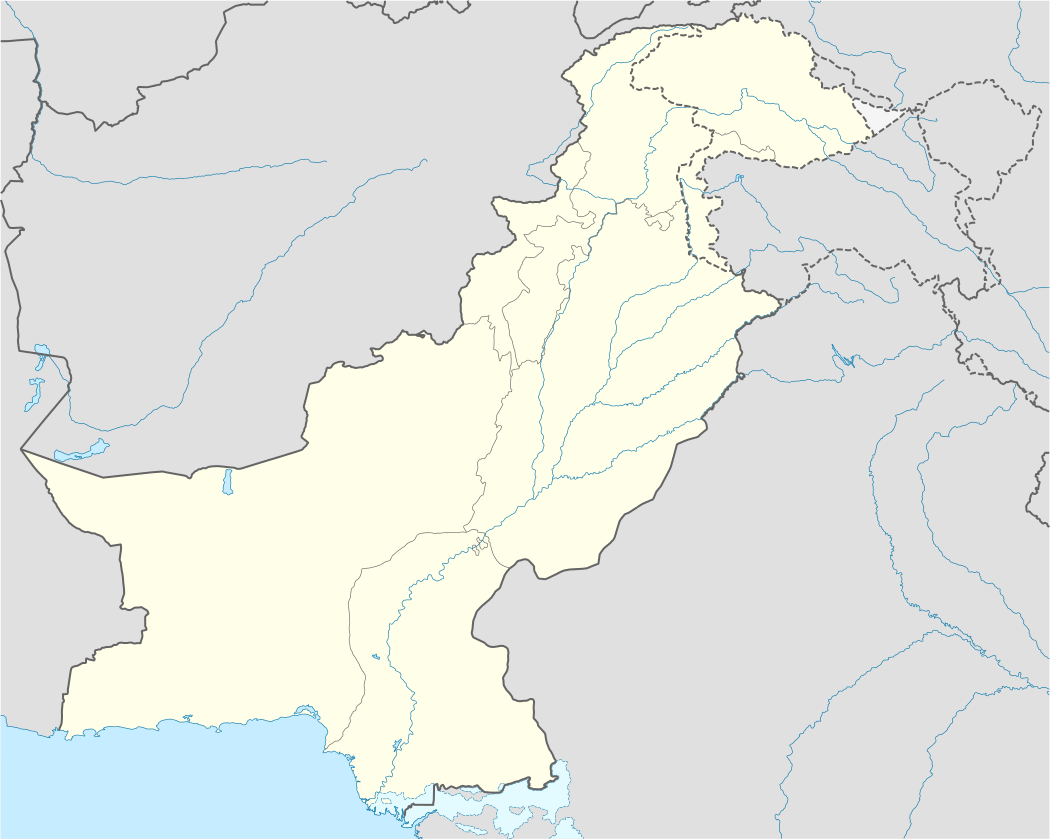
| Country |
|
| State | Khyber Pakhtunkhwa |
| District | Chitral District |
| Elevation | 1,100 m (3,600 ft) |
| Time zone | PST (UTC+5) |
Bumburet (Kalasha: Mumuret, Urdu: وادی پمپوریت) is the largest valley of Kalasha Desh in Chitral District, Khyber Pakhtunkhwa, Pakistan.

Bumbret Valley
The Bumburet valley joins the Rumbur valley at 35°44′20″N 71°43′40″E / 35.73889°N 71.72778°E (1640 m), and then joins the Kunar Valley at the village of Ayun (35°42′52″N 71°46′40″E / 35.71444°N 71.77778°E, 1400 m), some 20 km south (downstream) of Chitral. To the west the valley rises to a pass connecting to Afghanistan's Nuristan Province at about 4500 m.
The valley is inhabited by the Kalash people, and has become a tourist destination.[1]
References
| |||||||||||||||||||||||||||||||||
| |||||||||||||||||||||||||||||||||
| |||||||||||||||||||||||||||||||||
| |||||||||||||||||||||||||||||||||
| |||||||||||||||||||||||||||||||||
| |||||||||||||||||||||||||||||||||
This article is issued from Wikipedia - version of the 10/7/2016. The text is available under the Creative Commons Attribution/Share Alike but additional terms may apply for the media files.