Buško Blato
| Buško Blato | |
|---|---|
 | |
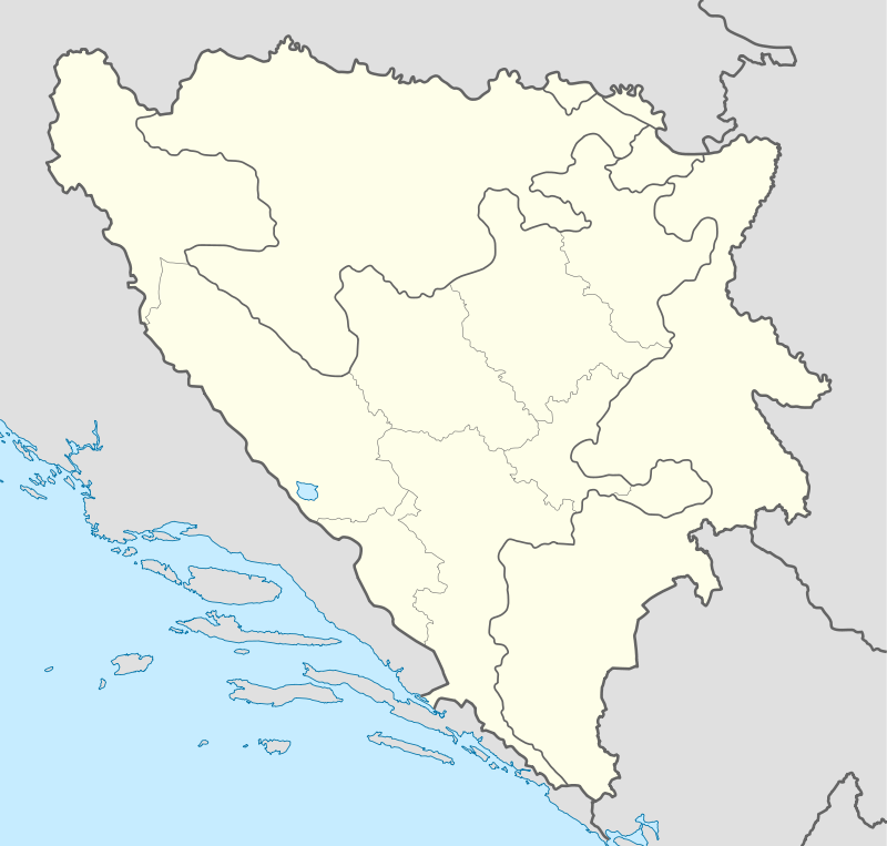
| Location | Livno field, Duvno field |
| Coordinates | 43°37′47″N 17°03′10″E / 43.6297°N 17.0528°ECoordinates: 43°37′47″N 17°03′10″E / 43.6297°N 17.0528°E |
| Basin countries | Bosnia and Herzegovina |
| Surface area | 55.8 km² |
| Water volume | 782 mio m³ |
| Surface elevation | 716 m |
Buško Blato or Buško Jezero is an accumulation lake located on the south side of Livanjsko Polje and northwest of Duvanjsko Polje in Bosnia and Herzegovina. The name is also a reference to the area surrounding the lake which includes a number of villages, of which Prisoje is the largest.
The actual lake is elevated 716 m above sea level, has an area of 55.8 km² and a total volume of 782 million m³. One third of the area falls under the jurisdiction of the municipality of Livno while the remaining two-thirds belongs to the municipality of Tomislavgrad. The total area of Buško Blato makes it one of the largest accumulation lakes in all of Europe.
Buško Blato (blato meaning 'mud' or 'swamp' in Bosnian) was essentially farmland up until 1974 when it was officially converted into a lake. It was built to provide electricity for the Dalmatian coastline. The governments of Bosnia and Herzegovina and Croatia (republics within Yugoslavia at the time) worked together on a project to build a hydroelectric power plant in Rudo (municipality of Otok in Croatia) called Orlovac that would have an output of 237 MW and an average annual yield of 366 GWh.
The lake also consists of a rich and wide assortment of fish such as carp, trout, minnow-nase, Prussian carp, and chub.