Bruland
| Bruland | |
|---|---|
| Village | |
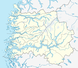 Bruland  Bruland Location in Sogn og Fjordane county | |
| Coordinates: 61°26′11″N 05°53′52″E / 61.43639°N 5.89778°ECoordinates: 61°26′11″N 05°53′52″E / 61.43639°N 5.89778°E | |
| Country | Norway |
| Region | Western Norway |
| County | Sogn og Fjordane |
| District | Sunnfjord |
| Municipality | Førde |
| Elevation[1] | 20 m (70 ft) |
| Population (2001)[2] | |
| • Total | 212 |
| Time zone | CET (UTC+01:00) |
| • Summer (DST) | CEST (UTC+02:00) |
| Post Code | 6800 Førde |
Bruland is a farming village located about 3.5 kilometres (2.2 mi) east of the town of Førde in the municipality of Førde in Sogn og Fjordane county, Norway. The population (2001) of Bruland was 212.[2] It is located just south of the river Jølstra, along the European route E39 highway. The lake Holsavatnet is located about 10 kilometres (6.2 mi) east of Bruland and the small Moskog area lies at the western end of that island. The name of the hamlet, Bruland literally means "land of bridges". Historically, many of the people who worked on the local farm took the surname Bruland.
Bruland was the home of the bailiff or Fogd for the whole Sunnfjord region from 1567 until the end of the nineteenth century. One of the farm buildings at Bruland was moved there from the island of Svanøya (in Flora municipality) in 1789. Many of the old buildings have been restored and are now protected.
Notable people
- Dagny Juel (1867–1901)
References
- ↑ "Bruland" (in Norwegian). yr.no. Retrieved 2010-08-06.
- 1 2 Statistisk sentralbyrå (2001). "Folke- og boligtellingen 2001, kommune- og bydelshefter 1432 Førde" (PDF) (in Norwegian).