Brother Isle
| Norse name | breiðare øy |
|---|---|
| Meaning of name | broad beach island |
 West end of Brother Isle | |
| Location | |
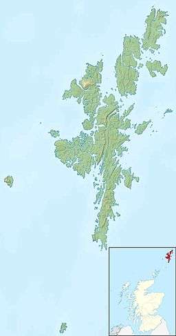 Brother Isle Brother Isle shown within Shetland | |
| OS grid reference | HU425815 |
| Physical geography | |
| Island group | Shetland |
| Area | 40 hectares (99 acres) |
| Area rank | 220= [1] |
| Highest elevation | 25 metres (82 ft) |
| Administration | |
| Sovereign state | United Kingdom |
| Country | Scotland |
| Council area | Shetland Islands |
| Demographics | |
| Population | 0[2] |
| References | [3][4] |
Brother Isle (Old Norse: breiðare øy meaning broad beach island) is a small, uninhabited island in Shetland, Scotland. It lies between the islands of Yell and Shetland Mainland. It is 40 hectares (99 acres) in size.
Geography and geology
The island's rock is "undifferentiated moine gneiss and quartzite."[3]
History
It is sometimes assumed that the "Brother" in the name refers to Culdees/papar who were frequent inhabitants of the smaller islands, however, in this case there is no apparent evidence for this claim, and it would appear to be merely folk etymology.
At only 40 hectares in size (about 1/6 of a sq. mile) and surrounded by tidal rips which make landing difficult, it would seem unlikely that the island has ever been inhabited. However, Brother Isle was inhabited until the 1820s, latterly by brothers with the surname Tulloch. This led to the mistaken assumption that the island's name referred to them.
In 2004, a lighthouse was built on the island.
References
- ↑ Area and population ranks: there are c. 300 islands over 20 ha in extent and 93 permanently inhabited islands were listed in the 2011 census.
- ↑ National Records of Scotland (15 August 2013) (pdf) Statistical Bulletin: 2011 Census: First Results on Population and Household Estimates for Scotland - Release 1C (Part Two). "Appendix 2: Population and households on Scotland’s inhabited islands". Retrieved 17 August 2013.
- 1 2 Haswell-Smith, Hamish (2004). The Scottish Islands. Edinburgh: Canongate. ISBN 978-1-84195-454-7.
- ↑ Ordnance Survey. Get-a-map (Map). 1:25,000. Leisure. Ordinance Survey. Retrieved 21 August 2013.
Coordinates: 60°30′54″N 1°13′40″W / 60.51489°N 1.22783°W