Brockford Street, Suffolk
Coordinates: 52°15′N 1°05′E / 52.25°N 01.09°E
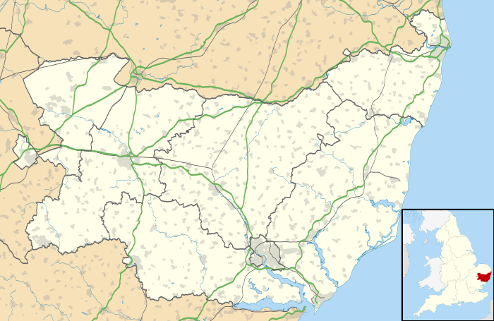
Brockford Street is a hamlet located in the East Anglian County of Suffolk in England, sited upon the A140 road between Ipswich and Norwich. The population of the hamlet is included in the civil parish of Mendlesham. Nearby is Brockford Station, part of The Mid-Suffolk Light Railway which closed under B.R. in 1952. The Mid-Suffolk Light Railway Museum is located at the site of the old cattle dock.
External links
![]() Media related to Brockford Street, Suffolk at Wikimedia Commons
Media related to Brockford Street, Suffolk at Wikimedia Commons
This article is issued from Wikipedia - version of the 11/9/2016. The text is available under the Creative Commons Attribution/Share Alike but additional terms may apply for the media files.