Bringsty Common
| Bringsty Common | |
|---|---|
| Common land | |
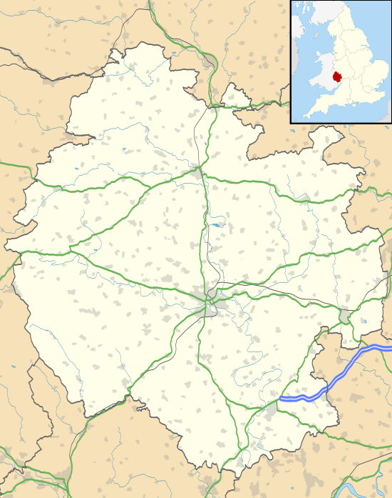 Bringsty Common Herefordshire map | |
| Coordinates: GB 52°11′32″N 2°26′17″W / 52.192261°N 2.438035°WCoordinates: GB 52°11′32″N 2°26′17″W / 52.192261°N 2.438035°W | |
| Country | United Kingdom |
| Region | West Midlands |
| County | Herefordshire |
| Area | |
| • Total | 340,000 sq mi (890,000 km2) |
Bringsty Common is 220 acres (89 ha) of common land in Herefordshire spanning the A44 close to the Worcestershire border and within 3 miles (4.8 km) of the town of Bromyard.
Bringsty Common is a perfect place for a walks. It has lakes, streams and valleys. There is a choice of walks and it is a beautiful place throughout the year. In the spring Bringsty Common is thick with bluebells, and in the winter if snow has fallen, the views of the common are stunning.
On Bringsty Common there is an antique shop, an old post office, café and pub. There is also an disused chapel hidden amongst the trees. The Common is a good location for walks and the pub can be a great starting place. There is a disused Sunday League football pitch which can be seen before a delta of paths.
You can walk anywhere across Bringsty Common, except in people's gardens, so there's no need to keep to any path, if you want to be a free spirit. It's a good place for walks of all kinds – long, short or very short!
Although predominantly bracken it has unique ecological diversity responding to conservation by the Commoners under a Countryside Stewardship Scheme administered by the Manorial Court.
http://www.bringstycommon.com http://www.liveandletlive-bringsty.co.uk