Brestovik
| Brestovik | |
|---|---|
| Suburban settlement | |
 Brestovik | |
| Coordinates: 44°38′43″N 20°45′57″E / 44.64528°N 20.76583°E | |
| Country |
|
| Time zone | CET (UTC+1) |
| • Summer (DST) | CEST (UTC+2) |
Brestovik (Serbian Cyrillic: Брестовик) is a suburban settlement of Belgrade, the capital of Serbia. It is located in the municipality of Grocka.
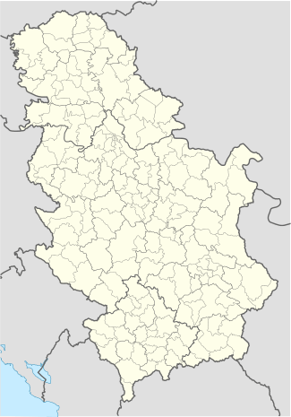
Brestovik is located in the eastern part of the municipality, on the border of the municipality of Grocka (and the City of Belgrade) and municipality of Smederevo (and the Podunavlje District). It is 6 km east of the municipal seat of Grocka and almost 40 km east of Belgarde. It is located on the southern bank of the Danube.
Brestovik is a small, depopulating village (population of 1,129 in 1991 and 1,076 in 2002), on the road of Smederevski put which connects Belgrade and Smederevo. One section of the road separates at Brestovik and connects it to the Belgrade-Niš highway to the south. The Geomagnetic observatory was built in the village in 1957, the first of that kind in former Yugoslavia.
As the village and the vast weekend-settlement in the eastern part of Grocka developed, Brestovik now forms a single built-up area with Grocka, and generally, through the string of villages on the Smederevski put, one urban built-up area (almost 80,000 inhabitants) forms from Grocka to Smederevo (as Smederevo is twice as closer to Grocka than Belgrade).
The name of the village is descriptive, meaning elm forest. In Ottoman period, group of settlers crossed the Danube and established a new village named Banatski Brestovac, further from the left bank of the Danube.
Coordinates: 44°38′43″N 20°45′57″E / 44.64528°N 20.76583°E