Brazos, California
| Brazos | |
|---|---|
| unincorporated community | |
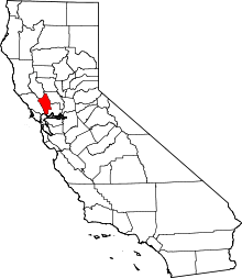
 Brazos  Brazos Location in California | |
| Coordinates: 38°12′30″N 122°18′22″W / 38.20833°N 122.30611°WCoordinates: 38°12′30″N 122°18′22″W / 38.20833°N 122.30611°W | |
| Country |
|
| State |
|
| County | Napa County |
| Elevation[1] | 3 ft (1 m) |
Brazos is an unincorporated community in Napa County, California.[1] It lies at an elevation of 3 feet (1 m).[1] Brazos is located on the Southern Pacific Railroad, 3.25 miles (5.2 km) west-northwest of Napa Junction.[2]
References
This article is issued from Wikipedia - version of the 7/5/2016. The text is available under the Creative Commons Attribution/Share Alike but additional terms may apply for the media files.