Bound Skerry

An aerial view of Grunay with Bound Skerry in background
| Location | |
|---|---|
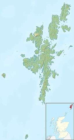
 Bound Skerry Bound Skerry shown within Scotland | |
| OS grid reference | HU702719 |
| Physical geography | |
| Island group | Out Skerries Shetland |
| Administration | |
| Sovereign state | United Kingdom |
| Country | Scotland |
| Council area | Shetland Islands |
| Demographics | |
| Population | 0 |
| References | [1][2] |
 Bound Skerry Lighthouse in 2009 | |
 Shetland | |
| Location |
Bound Skerry Out Skerries Shetland Scotland United Kingdom |
|---|---|
| Coordinates | 60°25′28″N 0°43′41″W / 60.424445°N 0.728064°W |
| Year first constructed | 1854 (first) |
| Year first lit | 1858 (current) |
| Automated | 1972 |
| Construction | masonry tower |
| Tower shape | cylindrical tower with balcony and lantern |
| Markings / pattern | white tower, black lantern, ochre trim |
| Height | 30 metres (98 ft) |
| Focal height | 44 metres (144 ft) |
| Range | 20 nautical miles (37 km; 23 mi) |
| Characteristic | Fl W 20s. |
| Admiralty number | A3807 |
| NGA number | 3420 |
| ARLHS number | SCO-164 |
| Managing agent | Northern Lighthouse Board[3][4] |
Bound Skerry is part of the Out Skerries group in the Shetland Islands. As well as being the most easterly island of that group, it is also the easternmost point of Scotland.
It has a lighthouse on it, which was built in 1857 at a cost of £21,000. Robert Louis Stevenson's family were lighthouse builders, and his signature can be seen in its guestbook.[1] The keepers lived on nearby Grunay.
The island was bombed twice in World War II by the Germans, who thought it was a munitions factory.[1]
See also
References
- 1 2 3 Haswell-Smith, Hamish (2004). The Scottish Islands. Edinburgh: Canongate. ISBN 978-1-84195-454-7.
- ↑ Ordnance Survey. Get-a-map (Map). 1:25,000. Leisure. Ordinance Survey. Retrieved 21 August 2013.
- ↑ Out Skerries The Lighthouse Directory. University of North Carolina at Chapel Hill. Retrieved 29 May 2016
- ↑ Out Skerries Northern Lighthouse Board. Retrieved 29 May 2016
External links
| Wikimedia Commons has media related to Out Skerries. |
Coordinates: 60°25′29″N 0°43′37″W / 60.42485°N 0.72686°W
This article is issued from Wikipedia - version of the 11/19/2016. The text is available under the Creative Commons Attribution/Share Alike but additional terms may apply for the media files.