Borj Ech Chemali
| Borj Ech Chemali برج الشمالي | |
|---|---|
| Village | |
 Borj Ech Chemali | |
| Coordinates: 33°15′45″N 35°14′20″E / 33.26250°N 35.23889°E | |
| Grid position | 172/296 PAL |
| Country |
|
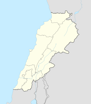
| Governorate | South Governorate |
| District | Tyre |
| Time zone | GMT +3 |
Borj Ech Chemali (Arabic: برج الشمالي) is a village in the Tyre District in South Lebanon, located just east of Tyre.
Name
According to E. H. Palmer in 1881, the name Burj esh Shemâly means "the northern tower".[1]
History
In 1881, the Palestine Exploration Fund's Survey of Western Palestine (SWP) described it as: "A large village built of stone, containing about 300 Metawileh, placed on a low ridge, with figs, olives, and arable land around. There are two good springs near.[2]
They further noted that it was "a village with a similar tower of drafted masonry (as that of Borj Rahal). The hill is crowned by a stronghold, the vaults of which, slightly ogival, do not appear older than the Crusaders, but it was constructed of older blocks, some in drafted masonry and others completely smoothed. About a mile to the south-west of this hill is a subterranean series of tombs, each containing several ranges of loculi, which was explored by Renan."[3]
References
Bibliography
- Conder, Claude Reignier; Kitchener, H. H. (1881). The Survey of Western Palestine: Memoirs of the Topography, Orography, Hydrography, and Archaeology. 1. London: Committee of the Palestine Exploration Fund.
- Guérin, Victor (1880). Description Géographique Historique et Archéologique de la Palestine (in French). 3: Galilee, pt. 2. Paris: L'Imprimerie Nationale.
- Palmer, E. H. (1881). The Survey of Western Palestine: Arabic and English Name Lists Collected During the Survey by Lieutenants Conder and Kitchener, R. E. Transliterated and Explained by E.H. Palmer. Committee of the Palestine Exploration Fund.
- Renan, Ernest (1864). Mission de Phénicie (in French). Paris: Imprimerie impériale.
External links
- Borj Ech Chemali, Localiban
- Survey of Western Palestine, Map 1: IAA, Wikimedia commons
Capital: Tyre | ||
| Towns and villages |
|  |