Bori Bunder
| Bori Bunder बोरी बंदर | |
|---|---|
| Neighbourhood | |
 Bori Bunder | |
| Coordinates: 18°56′24″N 72°50′07″E / 18.9400°N 72.8353°ECoordinates: 18°56′24″N 72°50′07″E / 18.9400°N 72.8353°E | |
| Country | India |
| State | Maharashtra |
| District | Mumbai City |
| Metro | Mumbai |
| Languages | |
| • Official | Marathi |
| Time zone | IST (UTC+5:30) |
| PIN | 400001[1] |
| Area code(s) | 022 |
| Vehicle registration | MH 01 |
| Civic agency | BMC |
.jpg)
Bori Bunder as seen from St. Thomas Cathedral (c. 1855-1862).
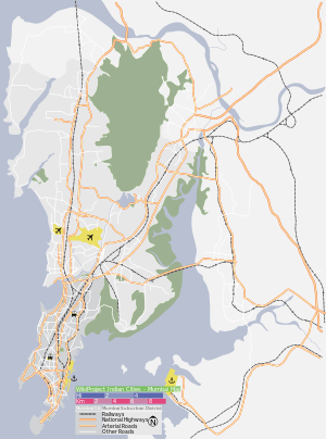
Bori Bunder (alternatively "Bori Bandar") was one of the areas along the Eastern shore line of Mumbai, India.
Background
This place was used as a storehouse for goods imported and exported from Mumbai. In the native slang, 'Bori' mean sack and 'Bandar' means Bhandaar or store; Bandar also means port; So Bori Bunder literally means a place where sacks are stored.
Transport
In the 1850s, the Great Indian Peninsular Railway built its railway terminus in this area and the station took its name as Bori Bunder.[2]
See also
References
- ↑ "Pin code : Bori Bunder, Mumbai". pincode.org.in. Retrieved 9 February 2015.
- ↑ "Rail museum in Lonavala mooted". Daily News and Analysis. 27 September 2008. Retrieved 1 May 2011.
This article is issued from Wikipedia - version of the 3/3/2015. The text is available under the Creative Commons Attribution/Share Alike but additional terms may apply for the media files.