Bohutín, Šumperk District
| Bohutín | |||
|---|---|---|---|
| Municipality | |||
| |||
 Bohutín | |||
| Coordinates: 49°57′16″N 16°52′41″E / 49.95444°N 16.87806°ECoordinates: 49°57′16″N 16°52′41″E / 49.95444°N 16.87806°E | |||
| Country |
| ||
| Region | Olomouc | ||
| District | Šumperk | ||
| Area | |||
| • Total | 2.25 km2 (0.87 sq mi) | ||
| Elevation | 340 m (1,120 ft) | ||
| Population (2012) | |||
| • Total | 791 | ||
| • Density | 350/km2 (910/sq mi) | ||
| Postal code | 78962 | ||
| Website | http://www.bohutin.cz | ||
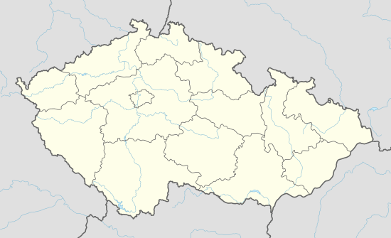
Bohutín (local dialect: Bótin) is the village and municipality (obec) in Šumperk District in the Olomouc Region of the Czech Republic.
The municipality covers an area of 2.25 square kilometres (0.87 sq mi), and has a population of 846.
Bohutín lies approximately 7 kilometres (4 mi) west of Šumperk, 49 km (30 mi) north-west of Olomouc.
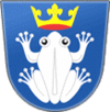
According to legend the name of Bohutín is a reference to statue of pagan god which was allegedly on the Zbová peak (Bohu - God, stín-shadow). A more likely origin of the name comes from Slavic personal name Bohuta. Village mascot is the Bohutín Frog which is also pictured on the village flag and coat of arms.
References
This article is issued from Wikipedia - version of the 4/7/2016. The text is available under the Creative Commons Attribution/Share Alike but additional terms may apply for the media files.

