Bognes
| Bognes | |
|---|---|
| Ferry port | |
|
Bognes ferry port | |
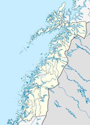 Bognes Location in Nordland | |
| Coordinates: 68°13′29″N 16°04′32″E / 68.22472°N 16.07556°ECoordinates: 68°13′29″N 16°04′32″E / 68.22472°N 16.07556°E | |
| Country | Norway |
| Region | Northern Norway |
| County | Nordland |
| District | Ofoten |
| Municipality | Tysfjord |
| Elevation[1] | 1 m (3 ft) |
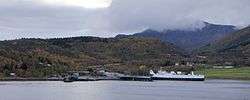
Bognes is a ferry port in the municipality of Tysfjord in Nordland county, Norway. It is located in the outer part of the Tysfjorden on the western side of the fjord. The port is located about 5 kilometres (3.1 mi) south of the village of Korsnes and about 15 kilometres (9.3 mi) north of Rørvika.
Ferries operate from Bognes across the Tysfjorden to Skarberget as part of the European route E06 highway. There are also ferries that cross the Vestfjorden to Lødingen as part of the Norwegian National Road 85.
References
This article is issued from Wikipedia - version of the 10/10/2012. The text is available under the Creative Commons Attribution/Share Alike but additional terms may apply for the media files.