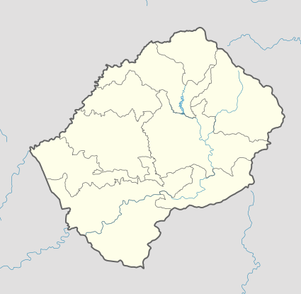
Bobete
| Bobete | |
|---|---|
| Community Council | |
 Bobete Geographic Center of Community | |
| Coordinates: 29°26′36″S 28°43′03″E / 29.44333°S 28.71750°E | |
| Country |
|
| District | Thaba-Tseka District |
| Elevation[1] | 9,108 ft (2,776 m) |
| Population (2006) | |
| • Total | 12,966 |
| Time zone | CAT (UTC+2) |
| Climate | Cwb |
| Coordinates computed from Lesotho Villages file.[2] | |
Bobete is a community council located in the Thaba-Tseka District of Lesotho. Its population in 2006 was 12,966.[3]
Villages
The community of Bobete includes the villages of[4]
|
Bobete |
Khohlong |
Mabeleng |
Manokong |
Noha-lia-loana |
References
- ↑ GTOPO30 via GeoNames. Retrieved 2010-11-30.
- ↑ Google Earth Download Site Retrieved 2010-07-21.
- ↑ Statoids.com
- ↑ Lesotho Bureau of Statistics, Village List Archived November 13, 2009, at the Wayback Machine. 2006.