Blue Wing Mountains
| Blue Wing Mountains | |
|---|---|
| Highest point | |
| Peak | Black Mountain (Nevada) |
| Elevation | 2,017 m (6,617 ft) |
| Coordinates | 40°22′12″N 119°2′8″W / 40.37000°N 119.03556°W |
| Dimensions | |
| Length | 11 mi (18 km) NE-SW |
| Width | 2.5 mi (4.0 km) |
| Area | 17 sq mi (44 km2) |
| Geography | |
| Country | United States |
| State | Nevada |
| District | Pershing County |
| Range coordinates | 40°22′30″N 119°00′00″W / 40.375°N 119°WCoordinates: 40°22′30″N 119°00′00″W / 40.375°N 119°W |
| Topo map | USGS Juniper Pass |
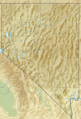
The Blue Wing Mountains are a mountain range in west central Pershing County, Nevada.[1]
The range is a small northeast trending range typical of the Basin and Range Province. Adjacent to the northwest side of the range is a desert playa of the broad Kumiva Valley. To the west beyond the Kumiva valley lies the Selenite Range. To the southeast lie the Nightingale Mountains and directly south across the narrow Juniper Pass are the closely associated Sahwave Mountains. To the southeast is the Blue Wing Playa of the broad Granite Springs Valley. Beyond the Granite Springs Valley are the Trinity Range with Lovelock just beyond. The Seven Troughs Range lies just five miles to the east of the Blue Wings.[2][3]
References
- 1 2 "Blue Wing Mountains". Geographic Names Information System. United States Geological Survey. Retrieved 2009-05-04.
- ↑ Kumiva Peak, Nevada, 30x60 minute quadrangle, USGS, 1984
- ↑ Lovelock, Nevada, 30x60 minute quadrangle, USGS, 1984
This article is issued from Wikipedia - version of the 10/9/2016. The text is available under the Creative Commons Attribution/Share Alike but additional terms may apply for the media files.