Bixley Heath
| Site of Special Scientific Interest | |
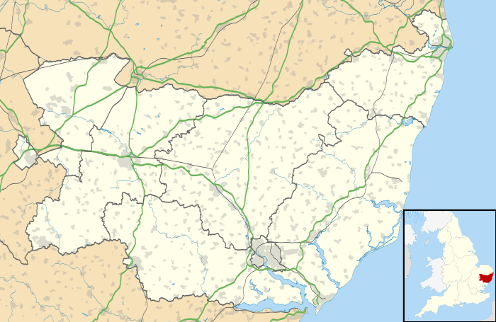 Bixley Heath within Suffolk | |
| Area of Search | Suffolk |
|---|---|
| Grid reference | TM199430 |
| Coordinates | 52°02′31″N 1°12′22″E / 52.042°N 1.206°ECoordinates: 52°02′31″N 1°12′22″E / 52.042°N 1.206°E |
| Interest | Biological |
| Area | 4.9 hectares (0.05 km2; 0.02 sq mi) |
| Notification | 1990 |
| Natural England website | |
Bixley Heath is a Site of Special Scientific Interest (SSSI) on the eastern edge of Ipswich in the English county of Suffolk. The area is part of the Suffolk Sandlings area and consists of lowland dry heathland and scarce swamp vegetation along a small valley to the southern edge of the site.[1] The site is 4.9 hectares (12 acres) in size.[1]
Location
The heath is split between the Ipswich Borough Council and Suffolk Coastal district areas. It is located adjacent to the Broke Farm and Purdis Farm areas of Ipswich and to the west of Ipswich Golf Club on the edge of the urban area. The heath is a Local Nature Reserve managed by Ipswich Borough Council.[2][3][4]
Plant and wildlife
The heathland area of the site is dominated by the heather Calluna vulgaris. Other heathers and grass species, such as Common Bent-grass Agrostis capillaris are also present, with some Bracken and scrub tree species on the edges of the site.[1]
The swamp area of the site has Lesser Pond-sedge Carex acutiformis as the dominant plant species, with other species such as Great Reedmace Typha latifolia and Great Willowherb Epilobium hirsutum found in the area. Sallow is found throughout the swamp area with some areas of open reed bed where Common Reed Phragmites australis is found.[1]
See also
References
- 1 2 3 4 Bixley Heath, SSSI citation, Natural England. Retrieved 2013-01-29.
- ↑ Ipswich Wildlife and Education Rangers Archived March 25, 2013, at the Wayback Machine., Ranger services, Ipswich Borough Council. Retrieved 2013-01-29.
- ↑ Bixley Heath Archived August 8, 2014, at the Wayback Machine., Local Nature Reserves, Natural England. Retrieved 2013-01-29.
- ↑ "Map of Bixley Heath". Local Nature Reserves. Natural England.