Bishopstone, Swindon
| Bishopstone | |
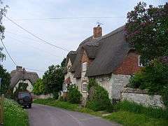 High Street, Bishopstone |
|
 Bishopstone |
|
| Population | 693 (in 2011)[1] |
|---|---|
| OS grid reference | SU246836 |
| Civil parish | Bishopstone |
| Unitary authority | Swindon |
| Ceremonial county | Wiltshire |
| Region | South West |
| Country | England |
| Sovereign state | United Kingdom |
| Post town | Swindon |
| Postcode district | SN6 |
| Dialling code | 01793 |
| Police | Wiltshire |
| Fire | Dorset and Wiltshire |
| Ambulance | South Western |
| EU Parliament | South West England |
| UK Parliament | South Swindon |
| Website | Parish Council |
Coordinates: 51°33′04″N 1°38′49″W / 51.551°N 1.647°W
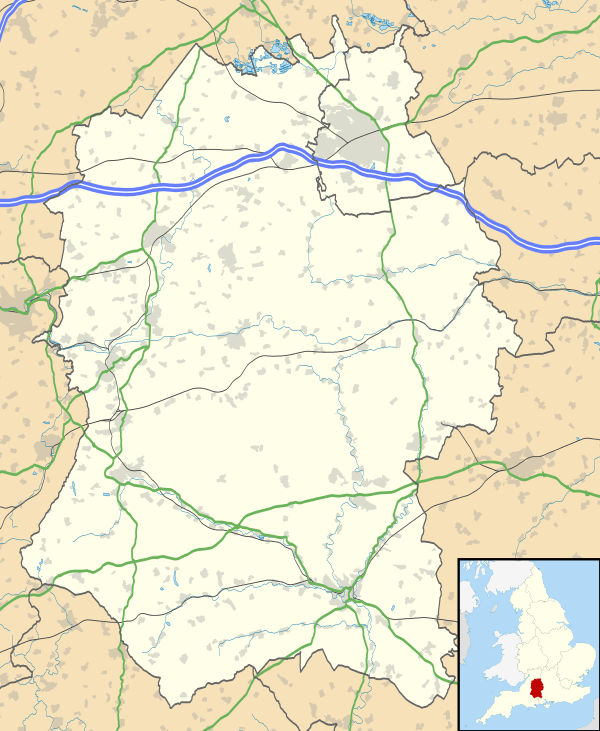
Bishopstone is a village and civil parish in the Swindon unitary authority of Wiltshire, England, about 6 miles (10 km) east of Swindon, and on the county border with Oxfordshire. Since 1934 the parish has included the village of Hinton Parva.
Bishopstone lies on the north slope of the Lambourn Downs, overlooking the Vale of White Horse. It is between Wanborough and Ashbury on the historic Icknield Way. It is a picturesque village with a public house, the Royal Oak,[2] and a large number of thatched cottages, centred on a mill-pond.
The village is often used as a base for walkers on the Ridgeway National Trail.
On the downs above Bishopstone are ancient field systems known as lynchets and many other historic earth-workings.
References
- ↑ "Bishopstone, Swindon - 2011 Census". Neighbourhood Statistics. Office for National Statistics. Retrieved 23 October 2015.
- ↑ "Helen Browning at The Royal Oak". Retrieved 23 October 2015.
External links
![]() Media related to Bishopstone, Swindon at Wikimedia Commons
Media related to Bishopstone, Swindon at Wikimedia Commons