Biabas
| Biabas | ||
|---|---|---|
| Barangay | ||
| ||
| Coordinates: 9°58′59″N 124°31′55″E / 9.9831°N 124.5319°ECoordinates: 9°58′59″N 124°31′55″E / 9.9831°N 124.5319°E | ||
| Country | Philippines | |
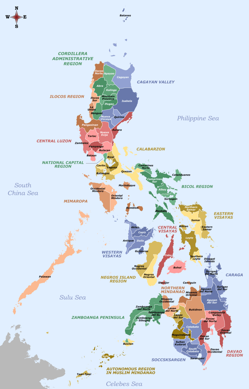
| Region | Central Visayas Region VII | |
| Province | Bohol | |
| District | 2nd District of Bohol | |
| Municipality | Ubay | |
| Urban District | VIII | |
| Purok | 7 | |
| Government | ||
| • Type | Sangguniang Barangay | |
| • Brgy Council | ||
| Area | ||
| • Total | 2,200 ha (5,400 acres) | |
| Population (2010 census)[1] | ||
| • Total | 2,573 | |
| • Density | 120/km2 (300/sq mi) | |
| • Voters (2013)[2] | 1,536 | |
| Time zone | PST (UTC+8) | |
| ZIP code | 6315 | |
| IDD : area code | +63 (0)38 | |
| PSGC | 071246004 | |

Biabas is one of the 44 barangays of the municipality of Ubay, in the province of Bohol, Philippines.
The barangay's total land area is 2,200 hectares (5,400 acres).[3] According to the 2010 census, it has a population of 2,573. In the ? election, it had 1,536 registered voters, meaning that 60% of the population are aged 18 and over.[2]
Biabas celebrates its annual fiesta on 17 May in honor of their patron saint.
Location
Located on the eastern part of the municipality, Biabas overlooks Bohol Sea to the east. To the north it is bounded by Lomangog and San Vicente, to the west by San Pascual, and to the south the municipality of Mabini. It is 15 km (9.3 mi) from the town center, Poblacion. It is accessible by all kinds of land transportation with a travel time of 20–30 minutes by private vehicles (jeep, motorcycle, automobiles) and 40–50 minutes by public utility vehicles.
Etymology
The barangay was named after the bayabas tree (guava – biabas, in Visayan), of which there are plenty throughout the barangay since the Spanish colonization.
Government
There are seven puroks overseen by the elected kagawads.
Facilities and Services
- Barangay Chapel
- Barangay Hall
- Barangay Health Center
- Barangay Plaza
- Basketball Court
- Day Care Center
- Elementary School
- National High School
- Multi-purpose Pavement
- Public Market
- 7 Purok Kiosks
- Passenger Terminal
References
- ↑ "Region VII (CENTRAL VISAYAS)". Census of Population and Housing (2010): Total Population by Province, City, Municipality and Barangay (Report). NSO. Retrieved 29 June 2016.
- 1 2 Project of Precincts for the 2013 Barangay Elections
- ↑ Saz, Efren B. (April 2007). "A Comprehensive Assessment of the Agricultural Extension System in the Philippines: Case Study of LGU Extension in Ubay, Bohol" (PDF). Philippine Institute for Development Studies. Retrieved March 14, 2015.
External links
 |
Lomangog | San Vicente | Cagting | |
| Bongbong San Pascual |
|
Bohol Sea | ||
| ||||
| | ||||
| Mabini |