Berner's Heath
| Site of Special Scientific Interest | |
|
Berner's Heath - sheep grazing on heathland | |
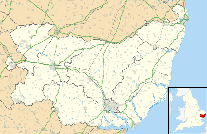 Berner's Heath within Suffolk | |
| Area of Search | Suffolk |
|---|---|
| Grid reference | TL800765 |
| Coordinates | 52°21′25″N 0°37′48″E / 52.357°N 0.630°ECoordinates: 52°21′25″N 0°37′48″E / 52.357°N 0.630°E |
| Interest | Biological |
| Area | 149.56 hectares (1.50 km2; 0.58 sq mi) |
| Notification | 1975 |
| Natural England website | |

Berner's Heath is a Site of Special Scientific Interest (SSSI) located to the north of Icklingham in the English county of Suffolk. The site is 149.6 hectares (370 acres) in area and was first notified as an SSSI in 1975.[1] The site is notable for being the largest area of heather heath remaining in the Breckland area.[1]
The site was used as a high altitude bombing range from 1936 to after World War II.[2][3][4] It is open access land and can usually be accessed between November and February to allow for ground nesting bird species, such as stone curlew, to be undisturbed during the nesting season.[5]
Location
Berner's Heath is located around 3 miles (4.8 km) north-east of Icklingham and 3 miles (4.8 km) south-west of Elveden in the Forest Heath district of Suffolk It lies just south of the A11 between Newmarket and Thetford. The site is bordered by the Breckland Farmland SSSI to the west and south and by the Breckland Forest SSSI to the east.[6] The Weather and Horn's Heath SSSI unit in Eriswell is located just to the west of the site.[1]
Plant and wildlife
The heath is the largest remaining area of heather dominated heath in the Brecks. It contains blocks of heather of different ages as a result of rotational heather burning conducted as a management strategy.[1] Heather dominates the heath, achieving almost 100% coverage with blocks divided by rides.[7] This allows a variety of different ground cover species to develop in different areas of the heath. In the areas of younger heather this includes species such as sheep’s sorrel Rumex acetosella and mosses such as Polytrichum juniperinum, although in areas where heather is slightly older and growing quickly ground cover is restricted.[1] Older, established blocks of heather have greater biodiversity and include lichens as well as flowering plant species isuch as heath bedstraw Galium saxatile, lady’s bedstraw Galium verum, common speedwell Veronica officinalis and sheep’s fescue Festuca ovina. These areas also support a wide range of insect populations.[1]
At the edges of the site, especially in the south, acidic grasslands gradually merge with the heather with a range of grass and lichen species present, dominated by sheep's fescue grass. There are some areas of chalk soils as well as an area of self-set Scots pine (Pinus sylvestris) along the southern edge of the site.[1]
See also
References
- 1 2 3 4 5 6 7 Berner's Heath, Icklingham, SSSI citation, Natural England. Retrieved 2013-01-27.
- ↑ Berner's Heath bombing range, Suffolk, Airfield Information Exchange, 2008-11-20. Retrieved 2013-01-27.
- ↑ Panoramic view of former bombing range, Bury Free Press, 2012-11-11. Retrieved 2013-01-27.
- ↑ RANGES (Code B, 62): Berners Heath Bombing Range: extension of live bombing facilities, AIR 2/4507, National Archives. Retrieved 2013-01-27.
- ↑ The King's Forest Rides, Suffolk County Council. Retrieved 2013-01-27.
- ↑ Berner's Heath, Icklingham, Nature on the Map, Natural England. Retrieved 2013-01-27.
- ↑ Breckland, Natural England. Retrieved 2013-01-27.