Belfort Chaux Airport
| Belfort Chaux Airport Aérodrome de Belfort - Chaux | |||||||||||||||
|---|---|---|---|---|---|---|---|---|---|---|---|---|---|---|---|
| IATA: none – ICAO: LFGG | |||||||||||||||
| Summary | |||||||||||||||
| Airport type | Public | ||||||||||||||
| Operator | Conseil Général du Territoire de Belfort | ||||||||||||||
| Serves | Belfort, France | ||||||||||||||
| Location | Chaux | ||||||||||||||
| Elevation AMSL | 1,367 ft / 417 m | ||||||||||||||
| Coordinates | 47°42′04″N 006°49′51″E / 47.70111°N 6.83083°ECoordinates: 47°42′04″N 006°49′51″E / 47.70111°N 6.83083°E | ||||||||||||||
| Map | |||||||||||||||
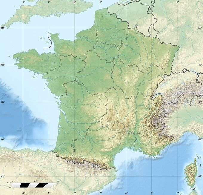 LFGG Location of airport in France | |||||||||||||||
| Runways | |||||||||||||||
| |||||||||||||||
Belfort Chaux Airport (French: Aérodrome de Belfort - Chaux, ICAO: LFGG) is a small aerodrome in Chaux, a commune in the Territoire de Belfort department in Franche-Comté in northeastern France. It is located 7 kilometres (4 mi) north of Belfort.[1] There is an aeroclub based here.
The airport is served by only one regular bus link, provided by Optymo. This is bus line 37, which runs from Belfort town centre every hour. There is also a restaurant with excellent views across the airfield and is open all year. Parking is also available on site. This airport is the only airport in Belfort, after the closure of Belfort's other airport in the 1970s.
Facilities
The airport resides at an elevation of 1,367 feet (417 m) above mean sea level. There are two parallel grass runways: 18R/36L measures 920 by 50 metres (3,020 ft × 160 ft) and 18L/36R is 920 by 80 metres (3,020 ft × 260 ft).[1]
There are no visual aids to aircraft on the airfield. There are also hangars used to store light aircraft, mainly for the aeroclub. The airport has also been used for music festivals and special events including air shows. These events usually happen during the summer.
The airport has also some physical challenges. It is situated next to mountain ranges, which causes strong NE winds, which are severe at times. During winter, the airport is usually closed if the runways are covered in snow.
References
- 1 2 3 LFGG – BELFORT CHAUX. AIP from French Service d'information aéronautique, effective 10 November 2016.
External links
- Aeronautical chart for LFGG at SkyVector