Beita District
| Beita 北塔区 | |
|---|---|
| District | |
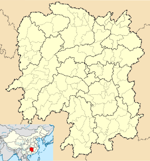 Beita Location in Hunan | |
| Coordinates: 27°14′47″N 111°25′28″E / 27.2465°N 111.4244°ECoordinates: 27°14′47″N 111°25′28″E / 27.2465°N 111.4244°E[1] | |
| Country | People's Republic of China |
| Province | Hunan |
| Prefecture-level city | Shaoyang |
| Time zone | China Standard (UTC+8) |
| Postal code | 422000 |
Beita District (simplified Chinese: 北塔区; traditional Chinese: 北塔區; pinyin: Běitǎ Qū) is one of three urban districts of Shaoyang, Hunan province, China, situated on the western (left) bank of the Zi River.
References
- ↑ Google (2014-07-02). "Beita" (Map). Google Maps. Google. Retrieved 2014-07-02.
- www.xzqh.org (Chinese)
External links
This article is issued from Wikipedia - version of the 10/22/2016. The text is available under the Creative Commons Attribution/Share Alike but additional terms may apply for the media files.