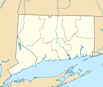
Bean Hill Historic District
|
Bean Hill Historic District | |
|
The Edmund Goo(d)kin House, built 1738 or earlier | |
  | |
| Location | Huntington and Vergason Avenues, Sylvia Lane and West Town Street, Norwich, Connecticut |
|---|---|
| Coordinates | 41°33′24″N 72°6′36″W / 41.55667°N 72.11000°WCoordinates: 41°33′24″N 72°6′36″W / 41.55667°N 72.11000°W |
| Area | 22 acres (8.9 ha) |
| Architect | Multiple |
| Architectural style | Greek Revival, Late Victorian |
| NRHP Reference # | 82001006[1] |
| Added to NRHP | December 8, 1982 |
The Bean Hill Historic District is a historic district in Norwich, Connecticut that was listed on the National Register of Historic Places in 1982. The district is located in the vicinity of West Town Street (old Route 2) between I-395 and Connecticut Avenue, and also extends northeast along Huntington Avenue to include properties further beyond Bean Hill Plain (the village green).
It includes 37 contributing buildings over a 22 acres (8.9 ha) area. Greek Revival and Late Victorian architecture is represented, including the 1833 Bean Hill Methodist Church.
The district is a well-preserved grouping of 18th- and 19th-century buildings focused on the Bean Hill Green. It captures the period when Bean Hill was a local center for manufacturing and commercial activity.[2]
See also
- Neighborhoods of Norwich, Connecticut
- National Register of Historic Places listings in New London County, Connecticut
References
- ↑ National Park Service (2009-03-13). "National Register Information System". National Register of Historic Places. National Park Service.
- ↑ Sarah Zimmerman and John Herzan (May 1979). "National Register of Historic Places Registration: Bean Hill Historic District" (PDF). National Park Service. and accompanying photos
kin_House)_-_New_London_County_CT.jpg)