Bayuda Volcanic Field
| Bayuda Volcanic field | |
|---|---|
 | |
| Highest point | |
| Elevation | 670 m (2,200 ft) [1] |
| Coordinates | 18°20′0″N 32°45′0″E / 18.33333°N 32.75000°ECoordinates: 18°20′0″N 32°45′0″E / 18.33333°N 32.75000°E [1] |
| Geography | |
 Bayuda Volcanic field | |
| Geology | |
| Age of rock | Holocene |
| Mountain type | Volcanic field |
| Last eruption | 850 CE ± 50 years [1] |
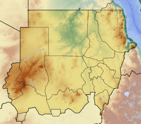
The Bayuda (or Baiyuda) Volcanic field is a collection of more than 90 eruptive centres, including at least 15 named cinder cones, and five named craters in the Bayuda Desert, Sudan. [1] The largest explosive crater Hosh ed Dalam, is 1.3 km wide, and approximately 500 m deep.[1]
References
This article is issued from Wikipedia - version of the 2/9/2014. The text is available under the Creative Commons Attribution/Share Alike but additional terms may apply for the media files.